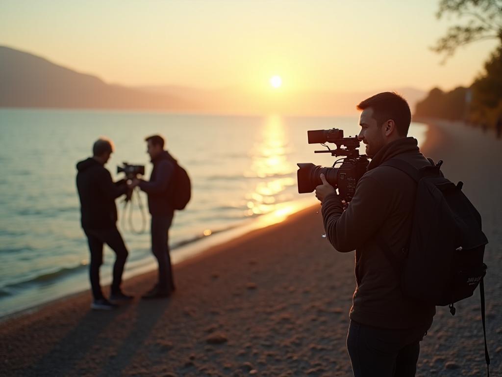
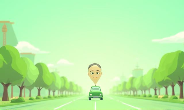
Filmische Perfektion aus der Schweiz
Videos, Reels & Live-Events, die Marken zum Leben erwecken.
- ✔︎ Full-Service-Produktion von Konzept bis Distribution
- ✔︎ 4K- & 8K-Kameratechnik, Drohnen & Virtual Production
- ✔︎ Klimaneutrale Drehs – zertifiziert durch myclimate
Unsere Leistungen
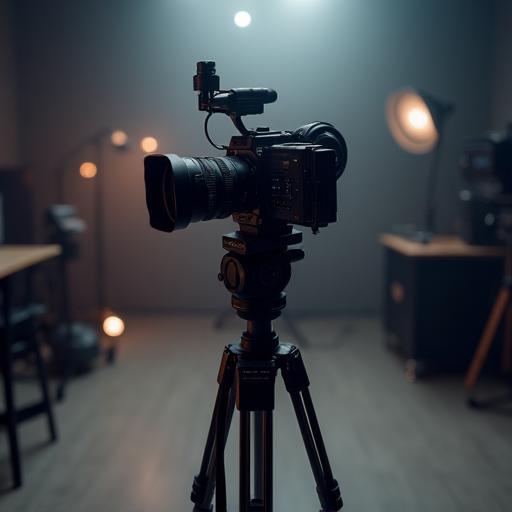
Videoproduktion
Image-, Produkt- und Werbefilme in Kinoqualität inklusive Storyboarding, Casting und Regie.
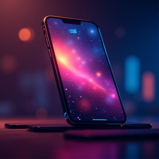
Reels & Social Clips
Plattformoptimierte Kurzformate für Instagram, TikTok & LinkedIn mit datengetriebenem Storytelling.
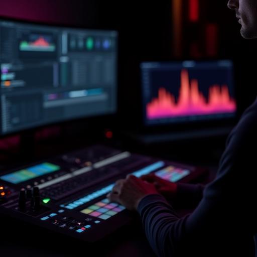
Postproduktion & Animation
Schnitt, Farbkorrektur, Motion Graphics, 2D/3D-Animation und Sounddesign in unserem Zürcher Studio.
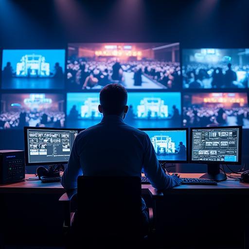
Live-Event-Coverage
Mehrkameralivestreams, Hybrid-Events und interaktive Q&A-Module inklusive RTMP-Streaming-Setup.
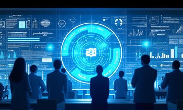
Technologien & Nachhaltigkeit
Unsere Produktionen basieren auf innovativen Tools und zertifizierten Prozessen.
Nachhaltige Filmproduktion
- 100 % Ökostrom im Studio
- CO₂-Kompensation aller Reisen
- LED-Beleuchtung & Akku-Energiesysteme
Unser Ablauf
01 – Briefing & Konzept
Workshop zur Zieldefinition, Story-Architektur und Budgetabstimmung.
02 – Pre-Production
Drehbuch, Locationscouting, Casting, Drehplan und Risikobewertung.
03 – Produktion
Dreh mit Cine-Kameras, Drohnen und Remote-Monitoring für Kunden-Feedback in Echtzeit.
04 – Postproduktion
Schnitt, VFX, Sounddesign und Review-Zyklen via Cloud-Plattform Frame.io.
05 – Distribution & Analyse
Plattformgerechtes Export-Encoding, SEO-Metadaten und Performance-Reporting.
Portfolio
Ausgewählte Projekte, die wir für Schweizer und internationale Marken realisiert haben.
Kundenstimmen
HelvetiCine hat unseren Event in 3 Sprachen live gestreamt und die Zuschauerzahlen verdoppelt.
Dank der kreativen Reels konnten wir in nur einem Monat 40 % mehr Follower gewinnen.
Die Animation für unseren Nachhaltigkeitsbericht war nicht nur informativ, sondern begeisterte auch unsere Investoren.

Von der Konzeptphase bis zum finalen Cut fühlten wir uns jederzeit transparent informiert.

Die Livestream-Qualität war selbst in Südamerika makellos – beeindruckend!
Unser Kernteam
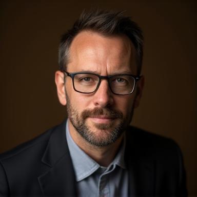
Marco Brunner
Gründer & Creative Director
15 Jahre Erfahrung in Spielfilm und Werbeproduktion, Dozent an der ZHdK.
LinkedIn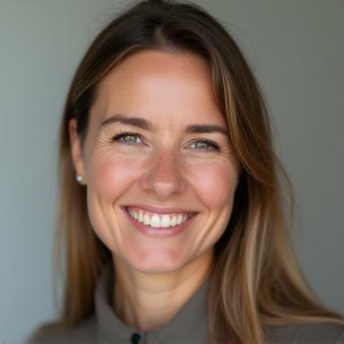
Sofia Keller
Head of Postproduktion
Spezialistin für Color Grading & VFX, zertifiziert für DaVinci Resolve 18.
LinkedIn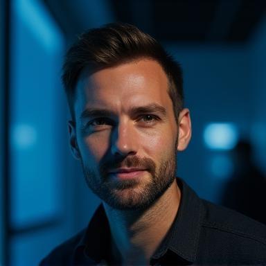
Luca Romano
Live-Streaming Engineer
AWS Media Services Architect und Event-Tech-Enthusiast.
LinkedIn