When you examine a map of Uganda, Africa, you are greeted with an extraordinary snapshot of one of the continent’s most fascinating countries. Nestled in East Africa, Uganda is often referred to as the “Pearl of Africa” due to its stunning natural beauty, rich biodiversity, and vibrant culture. Let’s take a closer look at what makes this landlocked country such a treasure.
Geographic Location and Boundaries
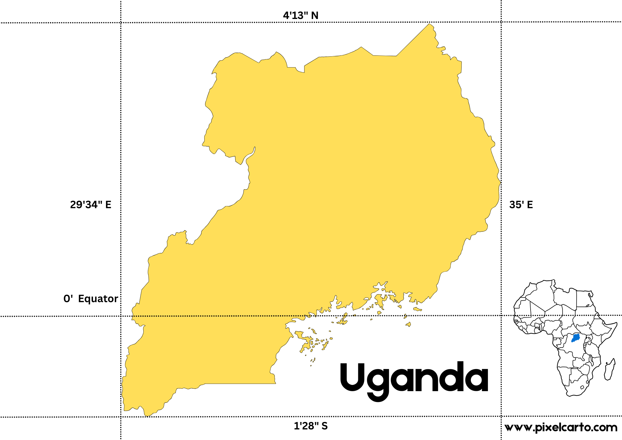
A map of Uganda, Africa reveals its strategic location surrounded by five countries. To the north lies South Sudan, to the east is Kenya, to the west is the Democratic Republic of Congo, and Rwanda and Tanzania border it to the southwest and south, respectively. Uganda’s position on the equator contributes to its tropical climate, which supports lush vegetation and abundant wildlife.
At the southern tip of Uganda lies a significant feature on any map: Lake Victoria. Shared with Kenya and Tanzania, Lake Victoria is Africa’s largest freshwater lake and the world’s second-largest by surface area. The lake is the source of the iconic Nile River, which begins its journey from Uganda and winds its way northward into Sudan and Egypt.
Major Cities on the Map of Uganda
Kampala, the capital and largest city of Uganda, stands out on the map as a vibrant urban hub. Located near the shores of Lake Victoria, Kampala is a bustling metropolis blending modernity with traditional African culture. Other key cities include Entebbe, home to Uganda’s main international airport, and Jinja, a town famous for being the source of the Nile River.
Further north, Gulu represents the heart of northern Uganda and is a center for trade and cultural exchange. Meanwhile, Mbarara, in the western region, is the gateway to the Ankole kingdom and the breathtaking scenery of the region’s rolling hills.
Natural Wonders
A map of Uganda, Africa highlights several national parks and conservation areas, emphasizing the country’s incredible biodiversity. The western region is home to Bwindi Impenetrable National Park, a UNESCO World Heritage site that houses nearly half of the world’s remaining mountain gorillas. Nearby, Queen Elizabeth National Park boasts a stunning array of wildlife, including elephants, lions, and hippos, all set against the backdrop of the snow-capped Rwenzori Mountains.
To the northeast, Kidepo Valley National Park offers rugged, untouched wilderness and unique cultural experiences with the Karamojong people. Mount Elgon, straddling the border with Kenya, is a prominent feature on Uganda’s eastern map, attracting hikers and nature enthusiasts alike.
Economic and Cultural Significance
The map of Uganda, Africa also highlights its diverse cultural and economic centers. Uganda is a land of more than 50 ethnic groups, each contributing to its rich heritage. The Baganda people, predominant in the central region, have a profound influence on the country’s traditions and governance.
Economically, Uganda relies on agriculture, with coffee being its leading export. The fertile soils around Lake Victoria and the Nile Basin make it an agricultural powerhouse.
Conclusion
A map of Uganda, Africa is more than just a geographical tool; it is a gateway to discovering a land filled with wonder, resilience, and potential. From its breathtaking landscapes to its vibrant cities and cultural diversity, Uganda truly lives up to its reputation as the “Pearl of Africa.” Whether you’re planning a visit or simply exploring the map, Uganda promises an unforgettable journey.
3 thoughts on “Exploring the Map of Uganda, Africa: A Jewel in the Heart of the Continent”