A glance at the map of Africa with Uganda opens the door to discovering one of the continent’s most remarkable countries. Uganda, often referred to as the “Pearl of Africa,” is located in East Africa, surrounded by breathtaking landscapes, diverse wildlife, and vibrant cultures. This landlocked nation has a unique position on the African continent, offering visitors and researchers alike a fascinating insight into its geography, history, and ecological significance.
Location on the Map of Africa
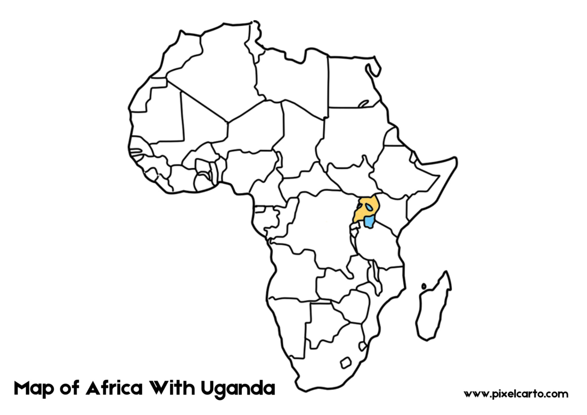
On the map of Africa with Uganda, you’ll find Uganda situated in the eastern part of the continent, just north of the equator. Its location is central to the Great Lakes region, bordered by Kenya to the east, South Sudan to the north, the Democratic Republic of Congo to the west, and Rwanda and Tanzania to the south. Despite being landlocked, Uganda is blessed with abundant water bodies, the most prominent being Lake Victoria, Africa’s largest freshwater lake.
Lake Victoria, located at the southern edge of Uganda, not only defines part of its border but also holds immense ecological and economic importance. The lake is the source of the mighty Nile River, which begins its journey from Uganda at Jinja, flowing through several countries before reaching Egypt and the Mediterranean Sea.
Features of Uganda on the African Map
The map of Africa with Uganda highlights Uganda’s compact size compared to some of its neighbors, yet its geography is incredibly diverse. The western part of the country is dominated by the Rwenzori Mountains, often called the “Mountains of the Moon.” This range features snow-capped peaks and lush valleys, making it a stunning feature of the landscape.
The eastern region includes Mount Elgon, a massive extinct volcano that straddles the Uganda-Kenya border, while the northern region is characterized by savannah plains and wildlife-rich national parks like Murchison Falls National Park.
When looking at Uganda on the map of Africa, the country stands out for its network of protected areas, including 10 national parks and numerous wildlife reserves. These areas are home to a rich diversity of species, including mountain gorillas in Bwindi Impenetrable National Park, lions, elephants, and hippos.
Uganda’s Role in Africa
Uganda’s central location on the map of Africa with Uganda makes it a crucial player in the East African region. It serves as a gateway for trade and cultural exchange, linking landlocked nations such as South Sudan and Rwanda to major economic hubs like Kenya and Tanzania. Additionally, Uganda’s fertile lands and favorable climate contribute to its position as a leading agricultural producer in Africa, particularly for coffee, tea, and bananas.
Conclusion
The map of Africa with Uganda is a visual representation of a country filled with natural beauty, ecological significance, and cultural richness. From its iconic Lake Victoria to the towering Rwenzori Mountains and the rolling savannahs of its national parks, Uganda’s position on the African map makes it an essential destination for adventurers, wildlife enthusiasts, and cultural explorers. Whether viewed through a geographical lens or explored on foot, Uganda offers an unforgettable experience that lives up to its nickname, the “Pearl of Africa.”
One thought on “Exploring the Map of Africa with Uganda: A Gateway to the Pearl of Africa”