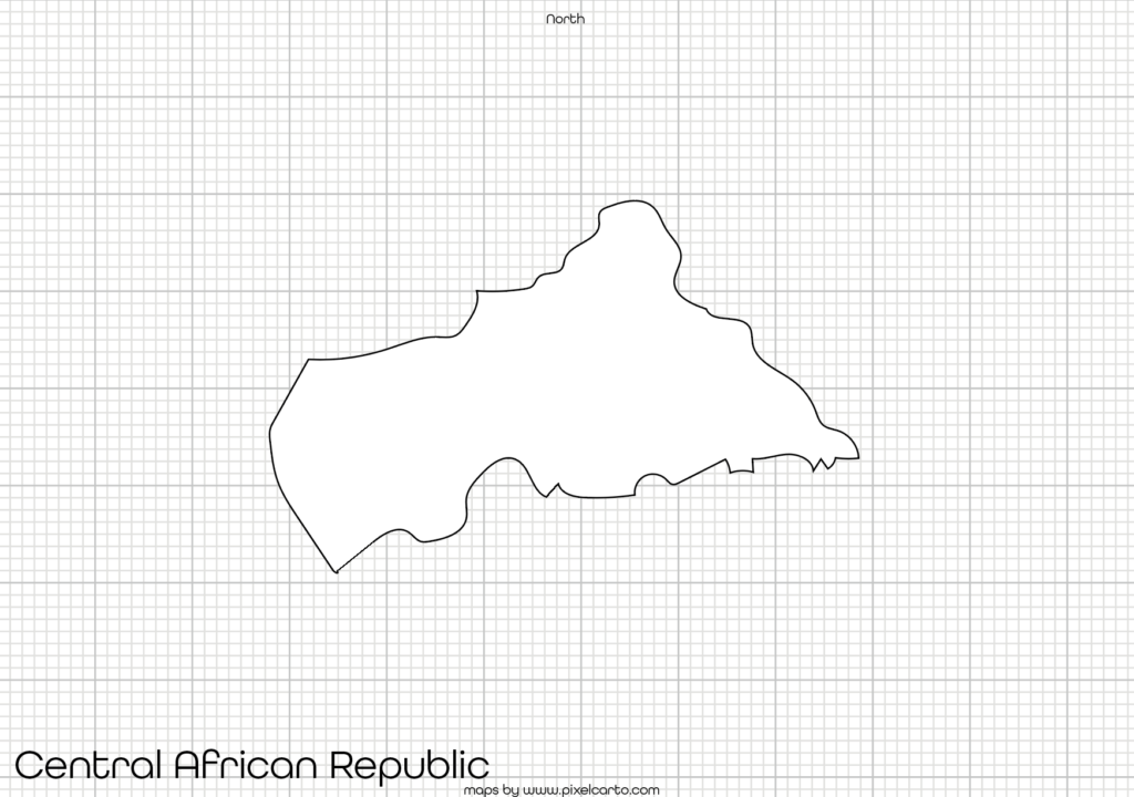
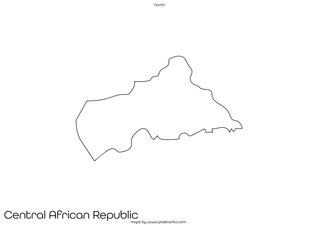
Printable Map of Central African Republic – Download Simple, High-Quality Maps


Looking for a printable map of Central African Republic? Whether you need a clear, high-resolution map for personal reference, educational use, or business purposes, PixelCarto has you covered.
Why Choose a Printable Map of Central African Republic?
A well-designed map can serve various needs:
- Education & Research – Perfect for students, teachers, and researchers studying Central African Republic’s geography.
- Business & Planning – Great for travel agencies, logistics companies, and businesses needing location-based insights.
- Personal & Creative Use – Ideal for travel planning, wall decor, or DIY projects.
What Our Maps Offer
At PixelCarto, we specialize in clean, simple, and easy-to-read maps. Our printable map of Central African Republic includes:
- Country borders and major cities
- Clear labeling for easy reference
- High-resolution format suitable for printing
- Customizable options available upon request
Download Your Printable Map Today
Get your printable map of Central African Republic in just a few clicks! Visit PixelCarto.com to explore our collection and download a high-quality map for your needs.
Need a custom map? Contact us, and we’ll create the perfect map tailored to your specifications!