Benin Printable Map – Download Free and Accurate Outline Map of Benin
Are you searching for a Benin printable map to download for educational, personal, or professional use? Whether you are a teacher, student, traveler, or someone simply interested in geography, having a printable map of Benin can be extremely useful. This map allows you to see the outline of Benin in Africa, making it ideal for learning, sketching, marking locations, or simply understanding the shape of the country.
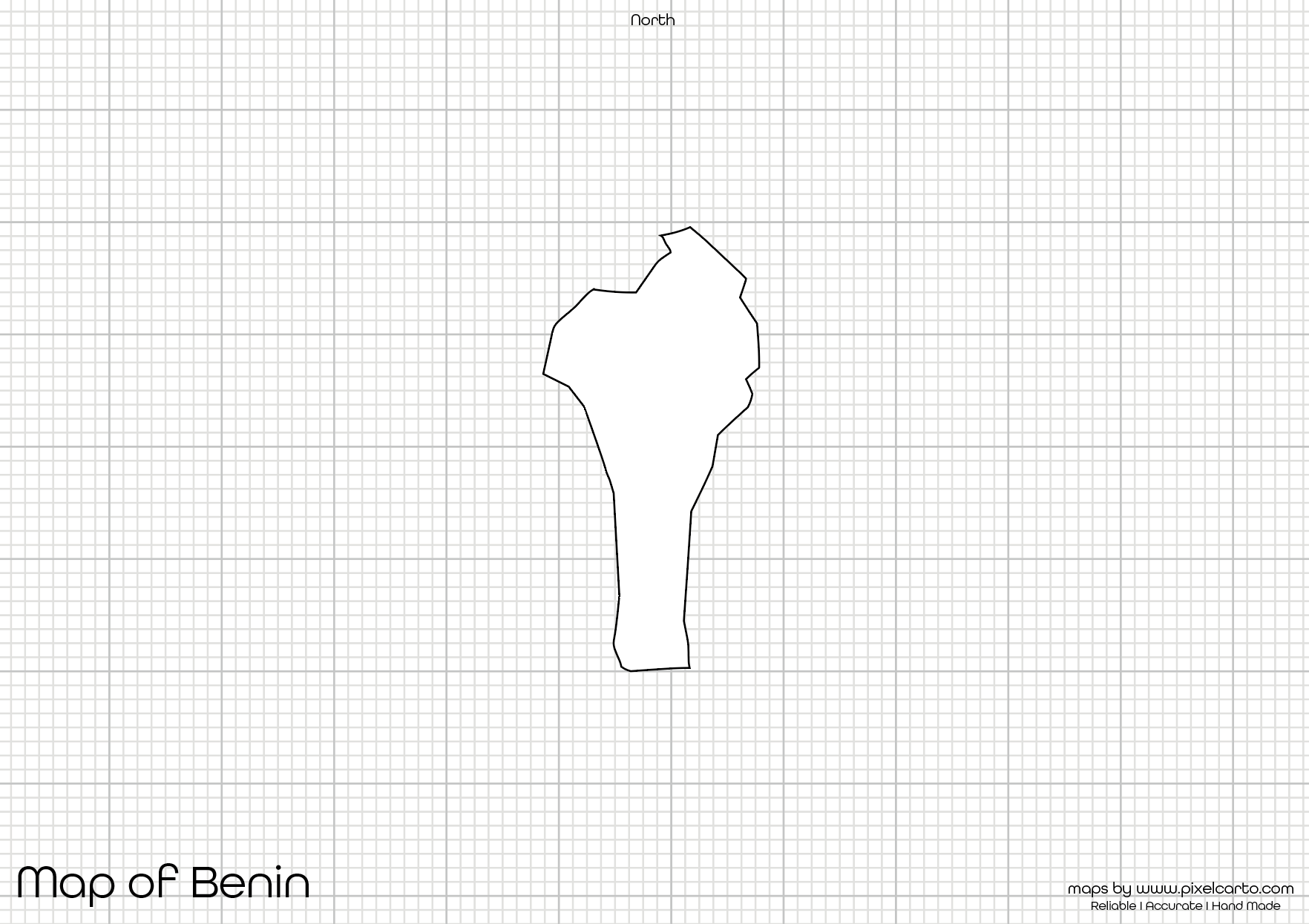
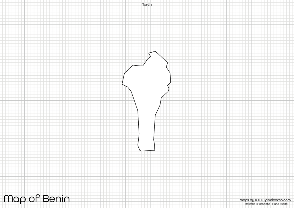
This Benin map outline is hand-made by experts, ensuring 100% accuracy and clear presentation. Unlike regular maps with complicated details, this outline map of Benin is clean, clear, and designed specifically for easy printing and usage. Whether you want to use it for educational purposes, geographical assignments, or creative activities, this Benin printable map serves all purposes.
Why Download a Benin Printable Map?
A Benin printable map is an excellent resource for anyone looking to understand the geographical boundary of Benin in Africa. This map outlines the entire border of Benin without any labels, making it perfect for:
- Educational use: Teachers can use it for classroom activities, quizzes, and geography lessons.
- Personal learning: Individuals interested in understanding the map of Benin, Africa can use it for personal knowledge.
- Sketching purposes: People who want to practice drawing maps or use them in their art projects can download this map for free.
- Geography assignments: Students working on school projects related to West Africa can use this Benin blank map.
- Business or travel planning: People traveling to Benin can use the map to plan their routes or gain a visual understanding of the country’s boundary.
This map is kept as simple and clean as possible to provide a clear and accurate representation of Benin’s border without any distractions.
Features of This Benin Printable Map
This Benin printable map is uniquely created by hand-made experts ensuring:
- Accurate borders: The map shows the exact border of Benin in Africa without any errors.
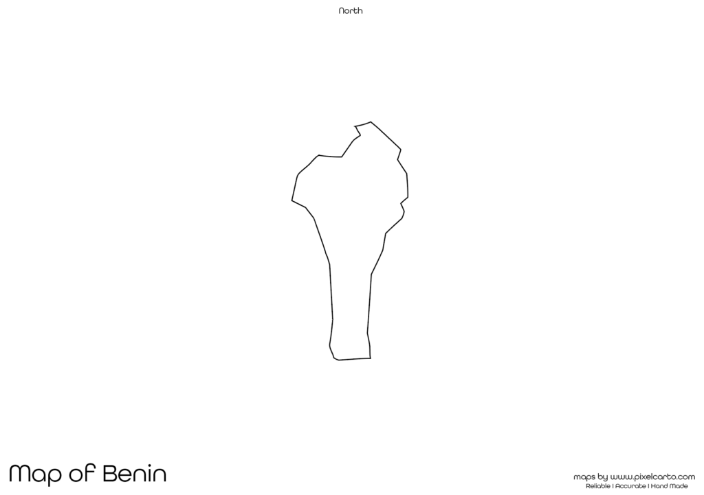
- Simple outline: No confusing labels or unnecessary markings — just a clean, printable outline map.
- Graph background: The map comes with a graph paper background for easy measurements and markings.
- High-quality resolution: The map is made with high-resolution to ensure clear printouts without pixelation.
- Easy to print: You can easily print it on an A4 sheet without any size issues.
This Benin map outline is perfect for sketching, labeling, and geographical projects without cluttered information.
How to Use This Benin Blank Map
The Benin blank map is versatile and can be used in multiple ways:
- Geography Teaching: Teachers can distribute this Benin map outline to students for marking important places, learning the map’s shape, and understanding Benin’s location in Africa.
- Art and Craft Projects: Creative individuals can use this Benin printable map to create art projects or wall posters related to Africa.
- Travel Planning: If you are planning a trip to Benin, Africa, you can use this map to plan your route or sketch your travel points.
- Personal Learning: People who love geography can simply download this map of Benin, Africa to understand the border and geographic shape of Benin.
This map does not show any cities, regions, or rivers, making it perfect for freehand labeling or creative use.
Why This Benin Map Outline Is Unique?
This Benin map outline is created by professional map-making experts using a hand-made technique to ensure 100% accuracy. Unlike random online maps, this version is specifically designed for:
- Clean outline design for clear visibility.
- Graph paper background for accurate scaling and drawing.
- Perfectly defined borders that match the real Benin map Africa.
The map is also free from any labeling or cluttered information, allowing users to use it however they want. It’s ideal for geography students, travel planners, art enthusiasts, and educators.
Download Free Printable Map of Benin – PDF too
If you are ready to use this highly accurate Benin printable map, you can easily download and print it in high-quality resolution. The map comes in a graph paper background to give you a clear understanding of scale and proportion. This also makes it useful for students to label cities, draw boundaries, or practice map sketching.
Here’s what you get when you download this Benin printable map:
- ✅ High-resolution map of Benin Africa.
- ✅ Clear, clean outline without any labels.
- ✅ Graph paper for accurate scaling and proportion.
- ✅ 100% hand-made accuracy designed by map experts.
Simply click on the download button, print the map, and start using it for your desired purpose. This map is completely free and does not require any subscription or payment.