Equatorial Guinea Printable Map PDF, JPG, and PNG for Free Download
If you are looking for a Equatorial Guinea printable map, you have come to the right place. This map provides a clean and clear outline of Equatorial Guinea without any labels or text, allowing you to customize it according to your specific needs. Whether you need it for educational purposes, travel planning, sketching, research, or business use, this printable map is highly versatile. You can download the map in three different formats – PDF, JPG, and PNG – based on your requirement.
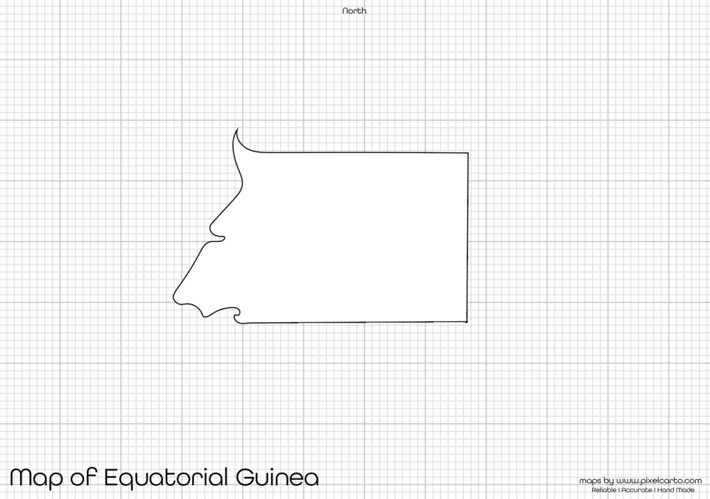
The blank map of Equatorial Guinea has been created with accurate borders to ensure that you get a clear geographical outline of the country. With no internal labels, it gives you complete flexibility to mark places, sketch boundaries, or add custom content as needed. This map is ideal for students, teachers, researchers, travelers, and professionals looking for a map of Equatorial Guinea.
Why Should You Download a Printable Map of Equatorial Guinea?
A printable map of Equatorial Guinea is highly useful for various purposes, especially because it comes without any pre-added text or markings. It allows you to add your own content or label it as per your need. Here are some major reasons why downloading a printable map is beneficial.
Educational Use
Teachers and students often need a blank map of Equatorial Guinea for school projects, map labeling tasks, or classroom assignments. Teachers can distribute the map to students for labeling major cities, neighboring countries, rivers, or natural landmarks. It helps students learn about Equatorial Guinea’s geography in an easy and practical manner.
Travel Planning
Travelers who are planning a trip to Equatorial Guinea can use this map to mark their travel routes, tourist destinations, or important places they wish to visit. The map helps in better planning by providing a clear outline of the country’s shape and boundaries. Travel bloggers, content creators, and travel agencies can also use this map for creating travel guides and visual content.
Sketching and Customizing Projects
If you love sketching or working on art projects, this Equatorial Guinea map outline is perfect for you. With no internal text or labels, you get full creative freedom to color, draw, or customize the map as you like. It is widely used by map sketchers, graphic designers, and artists for creative projects.
Research and Professional Use
Researchers and content creators working on research papers, reports, or geographical presentations often need a blank map of Equatorial Guinea for reference or content visualization. This map allows researchers to mark data points, highlight important locations, or add information related to their study without any distractions. It is perfect for professional documentation.
Business and Project Planning
Business professionals who are planning to expand their business or work on projects in Equatorial Guinea can use this map for location marking, site planning, or visual representation of business operations. It helps businesses analyze different regions and mark locations for potential growth.
Available Formats for Equatorial Guinea Printable Map
The Equatorial Guinea printable map is available in three different formats – PDF, JPG, and PNG. Depending on your purpose, you can choose the best format and download it for free. Each format has its unique benefits.
Equatorial Guinea Printable Map PDF
The PDF format is ideal for high-quality printing. If you need the map for educational purposes, large-size prints, presentations, or documentation, the PDF format is highly recommended. It offers a clear and sharp map outline, ensuring quality prints without any distortion.
Benefits of PDF format:
- High-quality resolution for clear prints.
- Easy to scale or resize without quality loss.
- Best for educational and professional use.
Equatorial Guinea Printable Map JPG
The JPG format is suitable for digital use. If you need the map for presentations, website content, blog posts, or social media platforms, downloading the JPG version is the best option. It is lightweight, quick to download, and easy to share.
Benefits of JPG format:
- Lightweight and easy to download.
- Perfect for online content, blog posts, and presentations.
- Can be easily shared and viewed on different devices.
Equatorial Guinea Printable Map PNG
The PNG format comes with a transparent background, making it highly useful for graphic designing, content creation, and digital projects. If you are a designer who wants to overlay the map on other designs or infographics, the PNG version is ideal for you.
Benefits of PNG format:
- Transparent background for easy customization.
- Best for graphic design, infographics, and presentations.
- High-quality resolution without quality loss.
Location of Equatorial Guinea on the Map of Africa
Equatorial Guinea is a small country located in Central Africa. It shares its borders with Cameroon to the north, Gabon to the south and east, and the Atlantic Ocean to the west. The country also includes islands such as Bioko Island where the capital city, Malabo, is located.
This country is known for its beautiful landscapes, coastal regions, and rich natural resources. Having a clear understanding of Equatorial Guinea’s location on the map of Africa is essential for students, travelers, and researchers. This map allows them to understand the country’s placement and geographical surroundings.
Why Is This Printable Map of Equatorial Guinea Recommended?
This Equatorial Guinea printable map is highly recommended for several reasons. It offers a clear border outline of the country without any text or labels, allowing full customization. Whether you are using it for school assignments, research, travel planning, or creative projects, this map offers complete flexibility.
Key reasons to use this map:
- It comes in PDF, JPG, and PNG formats for different purposes.
- Provides a clear and accurate outline of Equatorial Guinea.
- Allows customization without any distractions.
- Suitable for labeling, sketching, or designing content.
- High-quality resolution for both printing and digital use.
Whether you are a student, teacher, traveler, researcher, or content creator, this Equatorial Guinea printable map will meet all your needs. You can download the map and start customizing it as per your project or requirement.
Final Thoughts
The Equatorial Guinea printable map is a highly versatile and useful tool for anyone looking to explore or work with the map of this country. Whether you need it for educational purposes, travel planning, sketching, research, or professional use, this map offers complete freedom for customization.
You can download the map in PDF for high-quality prints, JPG for digital content, or PNG for graphic designing. Since the map has no pre-added labels, you can easily add your own text, city names, routes, or geographical information as needed.
This map is perfect for students learning about Equatorial Guinea’s geography, travelers planning their routes, researchers working on professional reports, and artists creating custom designs. Download the Equatorial Guinea printable map today and start customizing it according to your needs.