Gambia Printable Map PDF, JPG, and PNG for Free Download
If you are looking for a Gambia printable map, this resource is perfect for you. The map provides a clear and accurate outline of Gambia’s geographical boundaries without any internal labels, allowing you to customize it as per your needs. Whether you need this map for educational purposes, travel planning, research, artwork, or professional use, it serves as a highly useful tool. You can easily download the map in PDF, JPG, and PNG formats according to your preference.
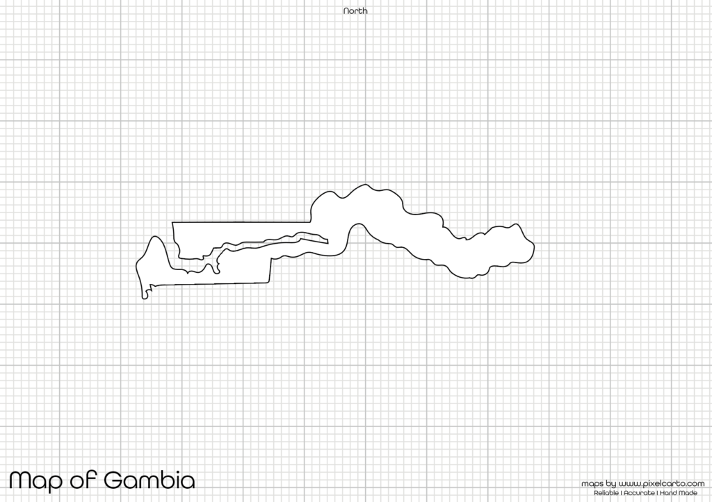
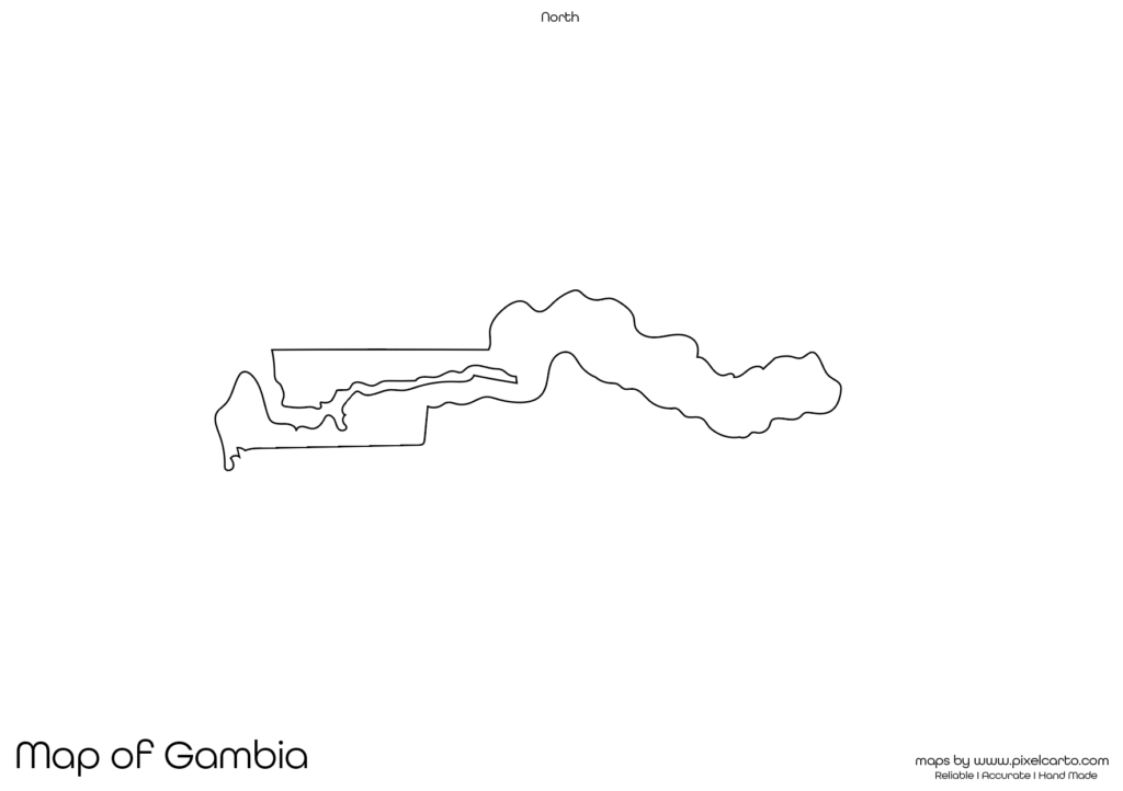
The blank map of Gambia is created with clean and precise borders, ensuring that users can add their own content, mark locations, or sketch their plans without any distraction. This map does not contain any city names, regions, or labels, giving you the freedom to customize it according to your project. Whether you are a student, teacher, researcher, or traveler, this map is a versatile tool for your work.
Why Should You Download a Printable Map of Gambia?
A printable map of Gambia is highly beneficial for various purposes, especially when you need a map without any pre-added text or content. This blank map allows you to label places, add information, or customize the map according to your requirements. Here are a few important reasons why downloading this printable map is a great choice.
Educational Use
Teachers and students commonly use a blank map of Gambia for educational purposes. It is widely used in classrooms for map labeling exercises, geography lessons, and school projects. Teachers can print this map and provide it to students to mark major cities, rivers, borders, or landmarks. This hands-on learning approach helps students understand the geography of Gambia easily.
Travel Planning and Mapping
Travelers planning to visit Gambia often need a printable map to mark their travel routes, tourist spots, or important locations they plan to visit. This map allows travelers to customize their routes, highlight destinations, or create personal travel guides for their journey. It is also useful for travel bloggers, content creators, or tour guides who want to create travel content.
Sketching and Art Projects
This Gambia map outline is ideal for individuals who love sketching, drawing, or working on creative projects. Artists, graphic designers, and content creators can use the blank map to create customized artwork, creative posters, or informative infographics. Since the map has no labels, it provides full flexibility for designing.
Research and Data Analysis
Researchers working on geographical data, demographic studies, or field research in Gambia often require a blank map for data presentation. This printable map of Gambia is highly useful for marking locations, adding information, or documenting geographical findings without any interference of pre-added labels. It allows you to add customized data and visually present it in research papers, presentations, or reports.
Business Planning and Documentation
Business professionals planning to expand or establish their business in Gambia may need this map for site planning, market research, or location marking. This map is beneficial for visualizing business operations, marking office locations, or documenting business activities in different regions of Gambia. The blank map allows professionals to customize it according to their business needs.
Available Formats for Gambia Printable Map
The Gambia printable map is available in three different formats – PDF, JPG, and PNG – allowing users to download the format that best suits their requirement. Each format offers unique advantages for different purposes.
Gambia Printable Map PDF
The PDF format is perfect for high-quality printing. If you need the map for educational use, classroom assignments, presentations, or professional documentation, downloading the PDF version is highly recommended. The map remains clear and sharp even when printed in large sizes.
Benefits of PDF format:
- High-quality resolution for printing.
- Suitable for educational and professional use.
- Can be resized without losing clarity.
Gambia Printable Map JPG
The JPG format is most commonly used for digital purposes such as blog posts, website content, social media sharing, or online documentation. If you need the map for quick access or online sharing, the JPG version is ideal for you.
Benefits of JPG format:
- Lightweight file for fast download.
- Perfect for online content and blog posts.
- Can be easily shared on different platforms.
Gambia Printable Map PNG
The PNG format is widely preferred for graphic designing, content creation, and infographics. This format comes with a transparent background, allowing graphic designers to overlay the map on other designs, presentations, or visual content.
Benefits of PNG format:
- Transparent background for easy customization.
- High-quality resolution for graphic designs.
- Perfect for content creators and designers.
Location of Gambia on the Map of Africa
Gambia is a small country located in West Africa, surrounded by Senegal on three sides and bordered by the Atlantic Ocean on the west. It is one of the narrowest countries in Africa, stretching along the Gambia River from the coast to the interior. The capital city of Gambia is Banjul, and its largest city is Serrekunda.
Gambia is well-known for its rich culture, wildlife, and tourism. Many visitors travel to Gambia to explore its beautiful beaches, wildlife parks, and cultural heritage. Understanding the geography of Gambia using this printable map is highly beneficial for travelers, students, and researchers.
Why Is This Printable Map of Gambia Recommended?
The Gambia printable map provided here is highly recommended because of its clean and clear outline, allowing users to customize it without any pre-labeled content. Whether you are a student, teacher, traveler, researcher, or business professional, this map will serve your purpose efficiently.
Here are the key reasons why you should download this map:
- Available in three different formats – PDF, JPG, and PNG.
- Provides a clear and accurate boundary outline.
- Allows you to add custom labels, drawings, or content.
- Useful for educational, travel, research, and business purposes.
- Suitable for both digital and print use.
This map is designed to provide complete customization freedom to its users. It does not contain any city names, divisions, or internal text, allowing users to add their own content.
Final Thoughts
The Gambia printable map is a versatile and valuable tool for students, travelers, researchers, teachers, business professionals, and content creators. Whether you need the map for classroom learning, travel planning, creative projects, or professional use, this map offers complete flexibility.
You can download the map in PDF format for high-quality printing, JPG format for digital content, or PNG format for graphic design purposes. The clear border outline of Gambia makes it ideal for labeling, sketching, data presentation, or travel documentation.
If you are looking for a customizable and high-quality Gambia printable map, this resource is highly recommended. Download the map today and use it according to your personal, educational, or professional requirements.