Guinea-Bissau Printable Map PDF, JPG, and PNG for Free Download
If you are searching for a Guinea-Bissau printable map, you have come to the right place. This map provides a clear and accurate outline of Guinea-Bissau’s geographical boundaries without any internal labels, allowing you to customize it as per your needs. Whether you need the map for educational purposes, travel planning, sketching, research, or professional documentation, this printable map is highly useful. You can easily download it in PDF, JPG, or PNG format and use it according to your purpose.
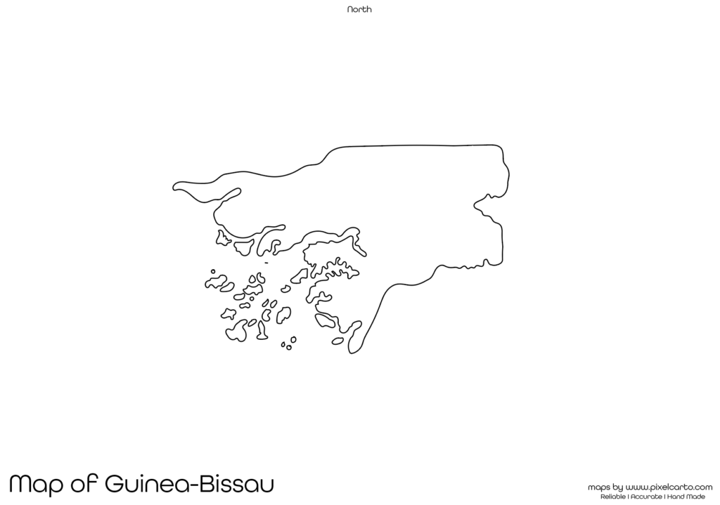
The blank map of Guinea-Bissau is designed with clean borders and accurate outlines, ensuring that it is suitable for labeling, sketching, data marking, or educational assignments. As the map does not contain any pre-labeled cities, divisions, or regions, it provides complete freedom for customization. Whether you are a teacher, student, traveler, researcher, or business professional, this map is ideal for your use.
Why Should You Download a Printable Map of Guinea-Bissau?
A printable map of Guinea-Bissau is highly beneficial when you need a map without any pre-added labels or text. This blank map allows you to customize the content according to your project or purpose. Here are some practical uses for downloading a printable map of Guinea-Bissau.
Educational Use
Teachers and students often require a blank map of Guinea-Bissau for educational purposes. Teachers can use this map for classroom assignments, map labeling exercises, and learning activities related to geography. Students can mark major cities, borders, rivers, and landmarks for educational projects. This map provides a clear visual understanding of Guinea-Bissau’s geography.
Travel Planning and Route Marking
Travelers planning a trip to Guinea-Bissau can use this printable map to mark their travel routes, tourist destinations, hotels, and transportation routes. Since the map has no pre-labeled content, travelers have the freedom to customize it according to their travel plans. This is especially useful for travel bloggers, content creators, or tour guides who need a clear map for presentation purposes.
Research and Documentation
Researchers working on demographic studies, geographical research, or fieldwork in Guinea-Bissau can use this map for data documentation, report creation, and data presentation. This blank map allows researchers to mark population density, resource distribution, project locations, or geographical patterns without any interference from pre-printed labels.
Art and Creative Projects
The Guinea-Bissau map outline is also perfect for creative work such as sketching, designing, or creating infographics. Artists and graphic designers who need a clear map outline can download this blank map and customize it according to their design projects. This map is also ideal for classroom art activities or creative map drawings.
Business Planning and Site Mapping
Business professionals planning to set up business operations or conduct market research in Guinea-Bissau can use this map to mark potential business sites, office locations, or service points. This blank map is highly beneficial for business presentations, planning operations, and creating visual documentation without any content restriction.
Available Formats for Guinea-Bissau Printable Map
The Guinea-Bissau printable map is available in three different formats – PDF, JPG, and PNG – allowing users to choose the format that best suits their project or use. Each format offers distinct benefits for different purposes.
Guinea-Bissau Printable Map PDF
The PDF format is widely recommended for high-quality printing purposes. If you need the map for educational assignments, classroom use, report presentations, or professional documentation, downloading the PDF version is the best option. The map will remain clear and sharp even after printing it in large sizes.
Benefits of PDF format:
- High-resolution map for clear printing.
- Best for educational and professional use.
- Can be resized without losing quality.
Guinea-Bissau Printable Map JPG
The JPG format is ideal for digital use, online content, blog posts, or social media. This version is lightweight, easy to share, and can be quickly downloaded for use in websites, presentations, or online content.
Benefits of JPG format:
- Lightweight file for quick download.
- Best for online sharing and content creation.
- Easy to embed in blog posts, articles, or presentations.
Guinea-Bissau Printable Map PNG
The PNG format is perfect for graphic designers, content creators, and infographic developers who need the map with a transparent background. This format allows the map to be overlaid on other designs or presentations without a background.
Benefits of PNG format:
- Transparent background for creative use.
- Best for graphic designing or visual content creation.
- High-quality resolution for clear visualization.
Location of Guinea-Bissau on the Map of Africa
Guinea-Bissau is a small country located in West Africa, bordered by Senegal to the north, Guinea to the south and east, and the Atlantic Ocean to the west. The capital city of Guinea-Bissau is Bissau, which also serves as the country’s largest city.
The country is known for its rich culture, natural beauty, and diverse ecosystems. The Bijagós Archipelago, located off the coast of Guinea-Bissau, is a popular tourist attraction known for its beaches and wildlife. Understanding the geographical position of Guinea-Bissau on the map of Africa helps travelers, researchers, and students get a better knowledge of its location.
Why Is This Printable Map of Guinea-Bissau Recommended?
The Guinea-Bissau printable map provided here is highly recommended because of its clear boundary outline, accurate representation, and blank format, allowing users to customize it without any content restrictions. This map serves different purposes such as education, travel planning, research, artwork, and business mapping.
Key reasons to download this map:
- Available in three formats – PDF, JPG, and PNG.
- Provides a clear and distraction-free border outline.
- Allows users to add custom content, labels, or markers.
- Ideal for educational, travel, research, and business purposes.
- High-quality resolution ensures clear printing and visualization.
This Guinea-Bissau printable map is designed for complete customization, allowing users to create their own content without any pre-labeled information.
Final Thoughts
The Guinea-Bissau printable map is a versatile and highly useful tool for students, teachers, travelers, researchers, business professionals, and content creators. Whether you need the map for classroom learning, travel planning, creative design, or professional documentation, this blank map offers full flexibility.
You can easily download the map in PDF format for high-quality prints, JPG format for digital use, or PNG format for creative design work. This map provides a clean and clear outline of Guinea-Bissau, allowing you to mark locations, sketch routes, or create custom content according to your project.
If you are looking for a high-quality, blank Guinea-Bissau printable map, this resource is highly recommended. Download the map today and start using it for your personal, educational, or professional needs.