Lesotho Printable Map PDF, JPG, and PNG for Free Download
If you are looking for a Lesotho printable map, this resource is perfect for you. This map provides a clear and accurate outline of Lesotho’s geographical boundaries without any pre-labeled text or content, allowing you to customize it according to your purpose. Whether you need this map for educational, travel, research, creative, or professional use, you can easily download it in PDF, JPG, or PNG format. The blank map offers complete freedom for labeling, sketching, or data marking as per your requirement.
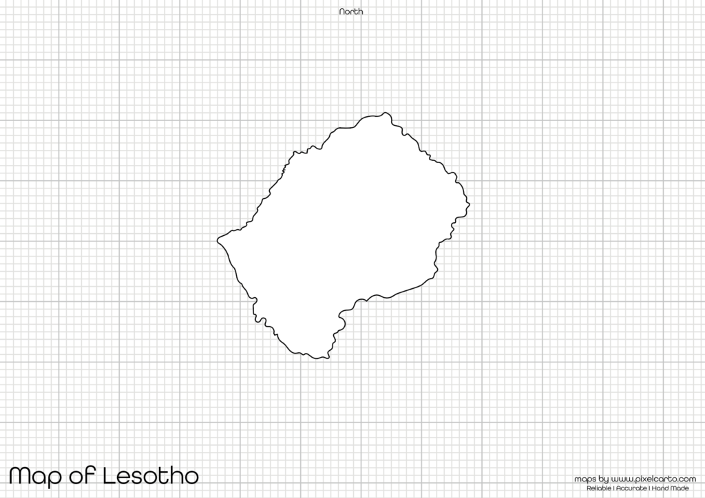
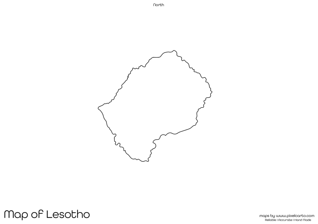
The blank map of Lesotho is carefully designed with clean and sharp borders, ensuring it serves as a versatile tool for students, teachers, researchers, travelers, or business professionals. With no pre-labeled cities or regions, you can add your own content and customize it as needed. This printable map is also beneficial for travel planning, educational assignments, geographical research, or business documentation.
Why Should You Download a Printable Map of Lesotho?
A printable map of Lesotho has multiple benefits for people who need an outline map for various purposes. Whether you are an educator, traveler, artist, or professional, this map can fulfill your needs efficiently. Here are a few key reasons why you should download the Lesotho printable map.
Educational Purpose
Students and teachers widely use a blank map of Lesotho for educational purposes. Teachers can distribute this map in classroom assignments, map labeling activities, geography lessons, and educational projects. Students can easily mark important cities, regions, rivers, or landmarks to enhance their geographical understanding of Lesotho.
This map is also useful for students participating in geography competitions, map drawing tasks, or learning activities where they need to test their knowledge about Lesotho’s geography.
Travel Planning and Route Mapping
If you are planning a trip to Lesotho, having a printable map is highly useful for marking travel routes, tourist destinations, hotel locations, or transportation paths. Travelers can also use this map to create their own travel guides or itineraries by marking key places of interest. Travel bloggers, tour guides, and content creators can use the blank map to present their travel routes visually.
Research and Fieldwork Documentation
Researchers working in the fields of geography, social studies, environment, or tourism often require a blank map of Lesotho to document their findings. This printable map is ideal for marking research locations, survey sites, demographic data, or geographical patterns without any interference from pre-labeled content. The map helps in creating customized research presentations or reports.
Artwork and Creative Projects
Artists, graphic designers, and content creators can use the Lesotho map outline for creating artwork, infographics, posters, presentations, or visual content. The blank format of this map allows complete creative freedom, making it ideal for custom designs or artistic work. This is especially useful for creating geography-related content, travel guides, or educational posters.
Business Planning and Site Marking
Business professionals who are planning to establish their business in Lesotho can use this printable map for site planning, business operation mapping, location documentation, or market analysis. The blank map allows professionals to visualize their business strategies without any pre-printed labels, making it easier to create custom content for professional use.
Available Formats for Lesotho Printable Map
The Lesotho printable map is available in three different formats – PDF, JPG, and PNG – providing you with flexible options for different purposes. Each format has its own advantage, allowing you to choose the most suitable option according to your requirement.
Lesotho Printable Map PDF
The PDF format is perfect for high-quality printing. Whether you need the map for classroom assignments, research papers, presentations, or business documentation, the PDF version ensures clear and sharp printing without any loss of quality.
Benefits of PDF format:
- High-resolution and clear map.
- Best for educational and professional use.
- Suitable for large-scale printing without losing quality.
Lesotho Printable Map JPG
The JPG format is ideal for online content, blog posts, social media sharing, or visual presentations. If you need the map for digital content creation, downloading the JPG version is the best option. It is lightweight and easy to upload or share on any platform.
Benefits of JPG format:
- Lightweight and easy to download.
- Perfect for online use and digital content.
- Easily embedded in blog posts, articles, and presentations.
Lesotho Printable Map PNG
The PNG format is preferred by graphic designers, content creators, and infographic designers who require a transparent background for their work. This map format is useful for overlays, creative designs, and presentations without a visible background.
Benefits of PNG format:
- Transparent background for easy customization.
- Best for graphic design and creative projects.
- High-quality resolution for sharp visual content.
Location of Lesotho on the Map of Africa
Lesotho is a landlocked country located in Southern Africa, entirely surrounded by South Africa. The capital city of Lesotho is Maseru, which is also the largest city in the country. Lesotho is known for its mountainous terrain, rich culture, and natural beauty.
The country is situated within the Highveld region, with most of its land covered by mountains. Lesotho is famous for its beautiful landscapes, wildlife, and cultural heritage. Understanding the geography of Lesotho through this printable map helps in planning travel, learning geography, or conducting research.
Why Is This Printable Map of Lesotho Highly Recommended?
The Lesotho printable map provided here is highly recommended because of its clear border outline, high-quality design, and blank format. This map allows users to customize content without any pre-printed labels or information, making it versatile for different uses.
Key advantages of downloading this map:
- Available in three flexible formats – PDF, JPG, and PNG.
- Provides a clear and distraction-free boundary outline.
- Ideal for educational, travel, research, and business purposes.
- Allows complete customization according to user requirements.
- Easy to print, download, and use without any difficulty.
This blank map of Lesotho is designed to offer maximum flexibility, allowing users to add content as per their project or purpose without any content limitation.
Final Thoughts
The Lesotho printable map is a highly valuable resource for students, teachers, travelers, researchers, business professionals, and content creators. Whether you need the map for classroom learning, travel documentation, creative design, or professional use, this map provides full flexibility for customization.
You can download the map in PDF format for high-quality printing, JPG format for digital content, or PNG format for graphic design projects. The map contains a clean and clear outline of Lesotho, allowing you to add custom labels, drawings, or markers according to your needs.
If you are searching for a high-quality, blank Lesotho printable map, this resource is highly recommended. Download the map today and use it for educational, professional, or creative purposes.