South Sudan Printable Map PDF, JPG, and PNG for Free Download
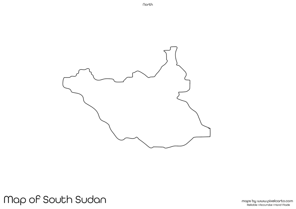
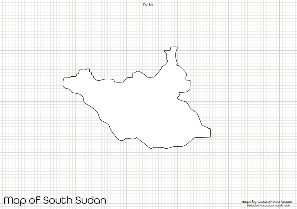
If you are looking for a South Sudan printable map, this resource is designed to meet your needs. The map offers a clear and accurate outline of South Sudan’s geographical boundaries without any pre-labeled content, making it ideal for educational purposes, travel planning, business documentation, research work, or creative design projects. You can download the South Sudan blank map in PDF, JPG, or PNG formats, allowing you to use it in both digital and printed formats.
The blank map of South Sudan allows users to customize the map according to their specific purpose. Whether you need it for classroom activities, route mapping, business planning, content creation, or research documentation, this map offers maximum flexibility. The map is suitable for students, teachers, travelers, researchers, content creators, and business professionals.
Why Should You Download a Printable Map of South Sudan?
A printable map of South Sudan is useful for various purposes based on the user’s needs. Since the map does not contain any pre-labeled content, it offers complete freedom for customization. Here are some common uses of the South Sudan printable map.
Educational Purpose
The blank map of South Sudan is ideal for educational purposes. Teachers can use it in geography lessons, map labeling activities, class assignments, quizzes, and research projects to help students understand the geography, boundaries, and major regions of South Sudan.
Students can use the map to mark major cities, rivers, lakes, and provinces of South Sudan. It is also useful for map labeling assignments, school projects, and geography homework. The map provides a clear and accurate outline, making it easier for students to draw and label locations.
Travel Planning and Route Mapping
If you are planning a trip to South Sudan, this printable map will be helpful for travel planning, route mapping, and travel documentation. Travelers, travel agencies, tour planners, and content creators can use this map to plan their travel routes, mark tourist attractions, and document travel plans.
Some popular places that travelers can mark on the map include Juba (the capital city), Nimule National Park, Boma National Park, and the White Nile River. This map makes it easy for travelers to highlight their destinations, transportation routes, and key points of interest.
Research and Survey Documentation
The blank map of South Sudan is also suitable for research and survey documentation. Researchers and surveyors who conduct fieldwork, research projects, environmental studies, or economic analysis in South Sudan can use this map to mark research sites, data collection points, or survey locations.
For example, researchers working on population distribution, environmental changes, or natural resources in South Sudan can use the map for data collection, geographic analysis, and report documentation.
Business Planning and Market Research
Business owners, logistics companies, and market analysts can use the South Sudan printable map for business planning, market research, and business documentation. This map is particularly helpful for planning delivery routes, marking business locations, outlining target market areas, or documenting site visits.
Companies in the logistics, infrastructure, delivery services, and supply chain industries can use the map to create delivery routes, service areas, and market expansion plans. This makes it easier to visualize market coverage and operational zones.
Creative Design and Content Creation
Content creators, graphic designers, and marketers can use the blank map of South Sudan for creative design purposes, social media content, infographic design, or visual content creation. The PNG version of the map is especially useful for graphic design projects.
Designers can easily add text, colors, icons, and labels to the map for posters, infographics, travel guides, or website content. This map provides complete design freedom for content creators.
Available Formats for South Sudan Printable Map
The South Sudan printable map is available in three different formats – PDF, JPG, and PNG, allowing users to select the most suitable option based on their purpose. Below is a brief overview of each file format.
South Sudan Printable Map PDF
The PDF version of the map is ideal for high-quality printing, classroom use, business documentation, and educational projects. It allows for large-scale printing without compromising image quality.
Benefits of the PDF format:
- Best for educational and professional use.
- Allows clear and high-quality printing.
- Perfect for classroom assignments and project documentation.
South Sudan Printable Map JPG
The JPG version of the map is highly suitable for online content, social media sharing, website embedding, and travel documentation. Travel bloggers, content creators, and social media managers can use the JPG map for online purposes.
Benefits of the JPG format:
- Lightweight and easy to share.
- Ideal for web content, blogs, and social media.
- Quick to download and use.
South Sudan Printable Map PNG
The PNG version is recommended for graphic design, content creation, and visual projects. The transparent background allows designers to add custom content, text, or icons without any background interference.
Benefits of the PNG format:
- Transparent background for creative design.
- High-quality resolution for clear visuals.
- Best for graphic design, infographics, and creative projects.
Location of South Sudan on the Map of Africa
South Sudan is located in East-Central Africa and shares borders with Sudan to the north, Uganda to the south, Kenya to the southeast, Ethiopia to the east, the Central African Republic to the west, and the Democratic Republic of the Congo to the southwest.
The capital city of South Sudan is Juba, which is also the largest city in the country. South Sudan is known for its vast grasslands, large rivers, and abundant wildlife, making it a popular destination for nature lovers and wildlife enthusiasts. Some of the most popular locations in South Sudan include Boma National Park, Nimule National Park, and the White Nile River.
Why Is This Printable Map of South Sudan Recommended?
This blank map of South Sudan is highly recommended because it provides clear and accurate geographical boundaries without any pre-labeled content. This allows users to fully customize the map based on their needs.
The map is suitable for:
- Educational purposes such as school assignments, map labeling, and classroom activities.
- Travel planning to mark travel routes, tourist destinations, and transportation zones.
- Research documentation for survey mapping, fieldwork, and data collection.
- Business planning to outline operational sites, market zones, and business locations.
- Creative content for designers, bloggers, and marketers.
The high-resolution file formats (PDF, JPG, PNG) make it easier to use the map for printing, digital documentation, and design purposes.
Final Thoughts
The South Sudan printable map is a valuable resource for students, teachers, travelers, researchers, business professionals, and content creators. It offers clear and high-quality geographical boundaries without any pre-labeled content, allowing users to customize the map according to their purpose.
Whether you need it for classroom assignments, travel planning, research documentation, business mapping, or content creation, this map offers maximum flexibility and customization. You can download it in PDF for printing, JPG for online content, or PNG for design purposes.
If you are looking for a high-quality and clear printable map of South Sudan, this resource is highly recommended. Download it now and start using it for educational, travel, business, or design purposes.