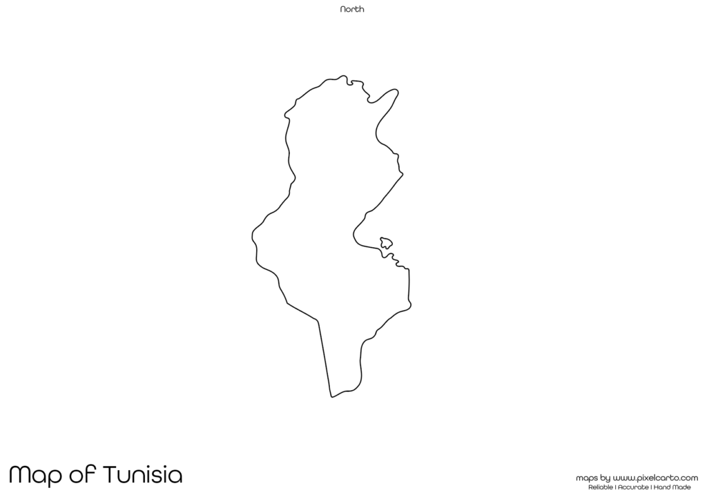
Tunisia Printable Map PDF, JPG, and PNG for Free Download
If you are looking for a Tunisia printable map, this resource is designed to meet your needs. The map provides a clear and accurate outline of Tunisia’s geographical boundaries without any pre-labeled content, making it ideal for educational, travel, research, business, or creative purposes. You can download the Tunisia blank map in PDF, JPG, or PNG formats, allowing you to use it in both digital and printed forms.
This blank map of Tunisia is perfect for students, teachers, travelers, researchers, content creators, and business professionals who need a customizable map. The map is designed in a way that users can add their own content such as city names, borders, travel routes, or business zones according to their needs.
Why Should You Download a Printable Map of Tunisia?
A printable map of Tunisia is useful for many purposes based on the user’s needs. It is entirely blank and allows users to customize it for personal, professional, or educational purposes. Below are some common uses of the Tunisia printable map.
Educational Purpose
The blank map of Tunisia is ideal for educational purposes. Teachers can use it in geography lessons, classroom assignments, educational quizzes, and research projects to help students learn about Tunisia’s geographical boundaries, major cities, and landmarks.
Students can also use the map to mark and label major cities, rivers, lakes, deserts, and neighboring countries. It is particularly useful for map labeling assignments, homework tasks, and geography exams. The clear and blank outline allows students to practice their knowledge of Tunisia’s geography.
Travel Planning and Route Mapping
If you are planning a trip to Tunisia, this printable map will be helpful for travel planning, route mapping, and travel documentation. Tourists, travel agencies, and content creators can use this map to mark travel destinations, transportation routes, tourist attractions, and accommodation locations.
Some of the most popular tourist destinations that travelers can mark on the map include Tunis (the capital city), Carthage, Sousse, Hammamet, and the Sahara Desert. This map is highly useful for planning road trips, travel itineraries, and route documentation.
Research and Survey Documentation
The Tunisia printable map is also beneficial for researchers, surveyors, and fieldwork professionals. Researchers conducting fieldwork, population surveys, geographical studies, or environmental research can use this map to document their data collection points, survey locations, and research areas.
It is widely used in environmental research, demographic studies, and natural resource analysis. This map provides clear and customizable boundaries, allowing researchers to highlight their survey sites or documentation areas effectively.
Business Planning and Market Research
For business owners, logistics companies, and market researchers, the Tunisia printable map is highly beneficial for business planning, market research, delivery route documentation, and business expansion planning. Companies that operate in delivery services, transportation, and logistics can use the map to mark delivery zones, target market areas, and operational sites.
Marketing professionals and business analysts can also use the map for business research, market expansion plans, and business documentation. The clear and blank map outline allows businesses to create custom business maps as per their requirements.
Content Creation and Visual Design
For content creators, graphic designers, and marketers, the blank map of Tunisia is a valuable resource for visual content creation, graphic design, and creative projects. The PNG version of the map is ideal for designing infographics, posters, travel guides, and social media content.
Since the PNG map comes with a transparent background, it allows designers to add text, symbols, and colors without any background interference. This makes the map suitable for custom map designs and content creation.
Available Formats for Tunisia Printable Map
The Tunisia blank map is available in three major file formats – PDF, JPG, and PNG, allowing users to choose the most suitable option based on their needs. Below is a brief description of each file format.
Tunisia Printable Map PDF
The PDF version of the map is suitable for high-quality printing, educational use, and professional documentation. It offers sharp and clear map outlines, making it ideal for classroom assignments, research documentation, and business planning.
Benefits of the PDF map:
- High-quality resolution for clear printing.
- Perfect for classroom use and educational projects.
- Easy to share and distribute.
Tunisia Printable Map JPG
The JPG version is ideal for online content, social media sharing, and digital documentation. It is a lightweight format that can be easily uploaded, shared, or embedded in content.
Benefits of the JPG map:
- Lightweight and easy to share.
- Ideal for website use, blog posts, and social media content.
- Quick to download and use.
Tunisia Printable Map PNG
The PNG version is highly recommended for graphic design, content creation, and visual presentations. It comes with a transparent background, making it easy to add text, icons, and labels to the map.
Benefits of the PNG map:
- Transparent background for design purposes.
- High-quality resolution for content creation.
- Best for creating infographics and visual content.
Location of Tunisia on the Map of Africa
Tunisia is located in North Africa and is bordered by Algeria to the west, Libya to the southeast, and the Mediterranean Sea to the north and east. The capital city of Tunisia is Tunis, which is also the largest city in the country.
Tunisia is famous for its historical landmarks, Mediterranean beaches, and ancient ruins. Some of the most popular tourist attractions in Tunisia include Carthage, El Djem Amphitheater, Medina of Tunis, and the Sahara Desert.
The geographical location of Tunisia makes it a popular travel destination for people around the world. The printable map of Tunisia allows users to mark travel routes, tourist attractions, and key locations.
Why Is This Printable Map of Tunisia Recommended?
The Tunisia printable map is highly recommended because it provides clear and accurate geographical boundaries without any pre-labeled content. This allows users to add their own content such as city names, routes, landmarks, or business zones as per their needs.
Some key benefits of downloading this map include:
- Full customization freedom for educational, business, and travel purposes.
- High-resolution formats (PDF, JPG, PNG) for clear and accurate printing.
- Suitable for students, teachers, travelers, researchers, and business professionals.
- Allows users to document travel routes, survey locations, and market areas.
The map’s simple and clear design makes it ideal for school projects, travel planning, content creation, and business documentation.
Final Thoughts
The Tunisia printable map is a valuable resource for students, teachers, travelers, researchers, business owners, and content creators. It offers a clear and blank outline of Tunisia’s geographical boundaries, allowing users to add their own text, labels, or markings based on their needs.
Whether you need the map for classroom assignments, travel documentation, business planning, or content creation, this map provides maximum flexibility for your use. You can download the map in PDF for printing, JPG for online use, or PNG for creative design.
If you are looking for a high-quality, blank, and customizable map of Tunisia, this resource is highly recommended. Download it today and start using it for educational, travel, business, or creative purposes.