Blank Map of Israel PDF, JPG, and PNG for Free Download
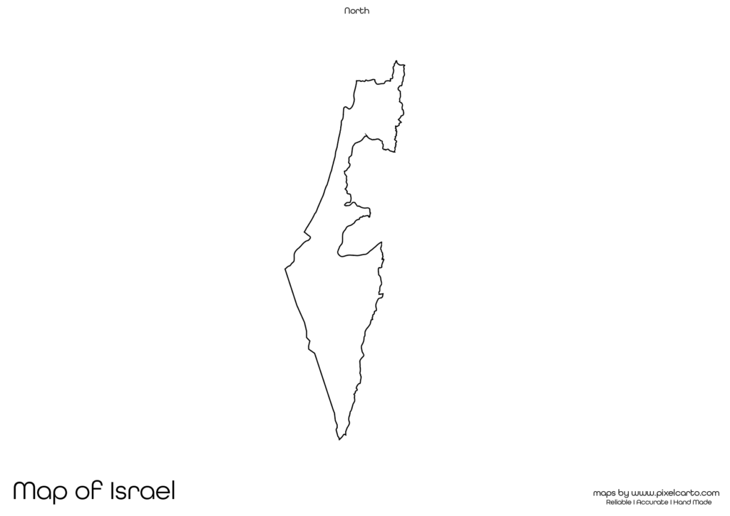
If you are searching for a blank map of Israel, this resource is perfect for you. It provides a clear and accurate outline of Israel’s geographical boundaries without any pre-labeled content, making it ideal for educational, research, travel, business, and content creation purposes. The blank map of Israel is available in PDF, JPG, and PNG formats, allowing users to easily download, print, and use it according to their specific needs.
This blank map is highly beneficial for students, teachers, travelers, researchers, content creators, and business professionals. Whether you need it for classroom assignments, travel route planning, business expansion, or research work, this map offers complete flexibility to customize it based on your requirements. You can add labels, text, boundaries, and routes as needed.
Why Should You Download a Blank Map of Israel?
The blank map of Israel serves various purposes, such as educational tasks, travel planning, research documentation, business planning, and content creation. It allows users to fully customize the map without any pre-labeled text or content. Below are some of the major uses of the blank map of Israel.
Educational Purpose
The blank map of Israel is highly useful for educational purposes in schools, colleges, and other educational institutions. Teachers often use this map to conduct geography lessons, classroom assignments, and educational activities. It helps students understand the geographical boundaries, major cities, and neighboring countries of Israel.
Students can also use the map for educational projects, map labeling activities, research work, and classroom presentations. They can label major cities such as Jerusalem, Tel Aviv, Haifa, Beersheba, and Eilat to enhance their geographical knowledge of Israel.
The PDF version of the map is ideal for classroom use as teachers can print multiple copies and distribute them for educational assignments or quizzes. This helps students gain a clear understanding of Israel’s geography.
Travel Planning and Route Mapping
Travelers, travel bloggers, and tour operators often use the blank map of Israel to plan travel routes, mark tourist destinations, and create travel itineraries. If you are planning a trip to Israel, you can use this map to outline your travel routes, accommodation points, and transportation hubs.
Popular tourist destinations in Israel that travelers can mark on the map include Jerusalem, Tel Aviv, Dead Sea, Masada, Sea of Galilee, and Eilat. This map allows travelers to organize their trips, plan sightseeing routes, and avoid missing any major attractions.
The PNG version of the map is especially helpful for travel bloggers and content creators. It allows them to design travel guides, travel itineraries, or visual travel maps for their audience without any background disturbance.
Research and Survey Documentation
The blank map of Israel is also valuable for researchers, surveyors, and fieldwork professionals conducting geographical, population, or environmental research. Researchers can use this map to mark research zones, survey areas, data collection points, and key geographical locations.
This map is particularly beneficial for researchers working in fields like population studies, environmental research, urban planning, or infrastructure development. It allows them to highlight research sites, track data points, and visualize research findings.
The PDF version is highly recommended for research documentation, official reports, and professional presentations, while the PNG version is perfect for visual content and infographics.
Business Planning and Market Research
For business professionals, entrepreneurs, and market researchers, the blank map of Israel is highly beneficial for business planning, market research, and operational planning. This map can be used to mark business locations, distribution zones, target markets, delivery routes, and business expansion areas.
Companies providing delivery services, logistics, or transportation businesses can use this map to plan delivery routes, identify business territories, and mark operational areas. Similarly, companies planning to expand their business in Israel can use this map for business presentations, market research, and marketing strategies.
The JPG version of the map is perfect for embedding in business presentations, market research reports, and official documents, while the PNG version is highly suitable for designing business maps or visual content.
Content Creation and Visual Design
The blank map of Israel is highly useful for content creators, graphic designers, social media marketers, and visual designers. This map allows them to create customized content, educational infographics, travel guides, and promotional content.
The PNG format is particularly useful for content creation as it comes with a transparent background, allowing designers to easily customize the map without any background interference. This makes it ideal for creating high-quality visual content, maps, and presentations.
Content creators can use this map to:
- Design educational infographics.
- Create travel itineraries or maps.
- Develop market research reports.
- Design business or tourism content.
- Create social media promotional posts.
The blank map of Israel provides full customization flexibility, allowing content creators to add text, labels, symbols, and icons according to their needs.
Available Formats of Blank Map of Israel
The blank map of Israel is available in three major file formats to serve different purposes. Each format has its unique benefits, depending on your use.
PDF Format:
The PDF format is ideal for high-quality printing, official documentation, classroom assignments, and professional presentations. It offers clear map outlines that can be printed without compromising the quality.
JPG Format:
The JPG format is perfect for embedding the map in blog posts, online content, social media, and business presentations. It is lightweight, allowing users to easily share it across different platforms.
PNG Format:
The PNG format is highly recommended for graphic design, visual content creation, travel content, and infographic design. It comes with a transparent background, allowing content creators to add custom elements without any background disturbance.
Location of Israel on the Map of Asia
Israel is a small country located in the Middle East, along the eastern coast of the Mediterranean Sea. It shares borders with Lebanon to the north, Syria to the northeast, Jordan to the east, and Egypt to the southwest. The country also has a coastline along the Mediterranean Sea.
The capital city of Israel is Jerusalem, while other major cities include Tel Aviv, Haifa, Beersheba, and Eilat. Israel is widely known for its historical and religious landmarks, ancient cities, and cultural heritage.
The blank map of Israel allows users to mark major cities, neighboring countries, geographical locations, and research sites. This makes the map highly valuable for educational, business, travel, and research purposes.
Why Should You Download This Blank Map of Israel?
Here are the major benefits of downloading the blank map of Israel:
- Provides a clear and accurate outline of Israel’s geographical boundaries.
- Allows complete customization for educational, research, travel, and business purposes.
- Available in PDF, JPG, and PNG formats.
- Suitable for educational assignments, travel planning, research documentation, and content creation.
- Easy to download, print, and use.
The PDF version is perfect for classroom assignments, research documentation, and professional use. The JPG version is ideal for online content, blog posts, and presentations. The PNG version is best suited for content creators, designers, and visual content development.
Final Thoughts
The blank map of Israel is a highly valuable resource for students, teachers, researchers, travelers, business professionals, and content creators. It offers a clear and accurate outline of Israel without any pre-labeled content, allowing users to customize it according to their specific needs.
Whether you need the map for educational purposes, travel route planning, business expansion, or research documentation, this map provides maximum flexibility. You can easily download the map in PDF format for printing, JPG format for online use, or PNG format for graphic design.
Download your blank map of Israel today and use it for educational, business, travel, or content creation purposes.