Blank Map of Bhutan PDF, JPG, and PNG for Free Download
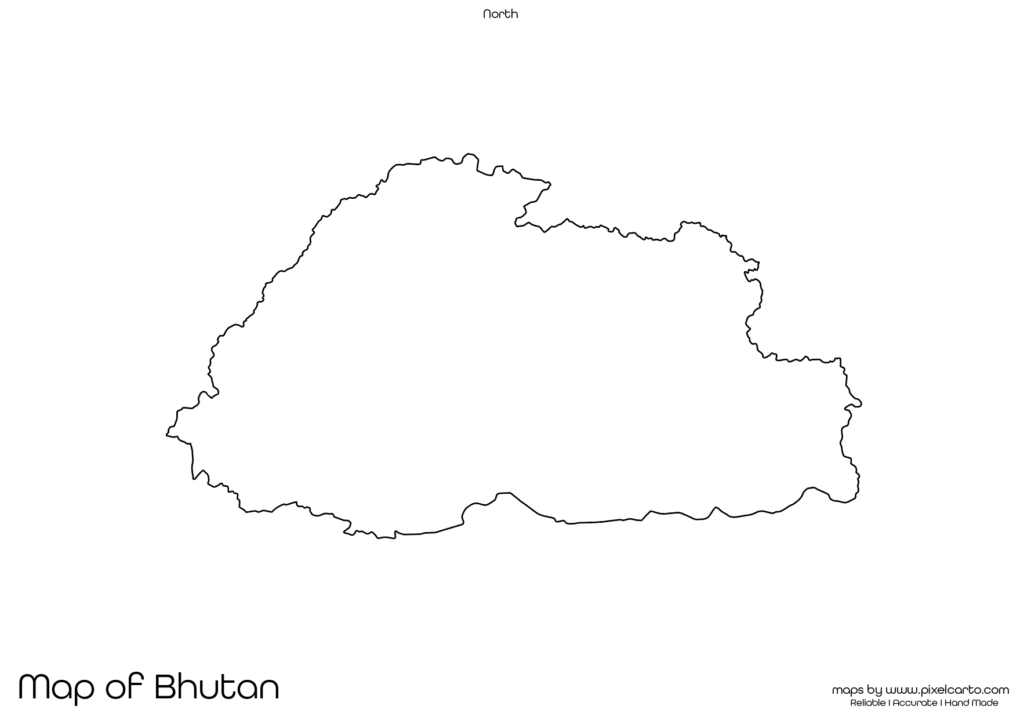
If you are looking for a blank map of Bhutan, this resource is perfect for you. It provides a clear and accurate outline of Bhutan’s geographical boundaries without any labels or markings. This blank map is available in PDF, JPG, and PNG formats, allowing you to easily download, print, and customize it according to your needs.
The blank map of Bhutan is highly useful for students, teachers, travelers, researchers, business professionals, and content creators. Whether you need it for educational purposes, travel planning, research work, or business documentation, this map offers complete flexibility for customization. You can add your own text, labels, symbols, or routes as required.
Why Should You Download a Blank Map of Bhutan?
The blank map of Bhutan can be used for various purposes like educational activities, travel documentation, market research, or content creation. Here’s how it can serve different purposes:
Educational Purpose
The blank map of Bhutan is widely used by teachers and students for educational purposes. Teachers often use this map to conduct geography lessons, classroom assignments, and map-labeling activities.
Students can use the map for school projects, geography homework, and research work. They can label major cities, rivers, mountain ranges, and neighboring countries on the map. This helps students understand the geographical structure of Bhutan.
The PDF version is especially useful for classroom activities as it allows teachers to print high-quality copies for map-based assignments. It is also helpful for quiz competitions, educational presentations, and school projects.
Travel Planning and Route Mapping
Travelers, travel bloggers, and tour operators often use the blank map of Bhutan for travel planning and route mapping. If you are planning a trip to Bhutan, this map will help you document your travel route, mark sightseeing locations, and highlight accommodation places.
Popular places that travelers often mark on the map include Thimphu (the capital city), Paro, Punakha, Phuentsholing, and Bumthang. This makes it easier to create an organized travel plan and mark all the places you intend to visit.
The PNG format is highly recommended for travel bloggers and content creators who want to design travel guides, custom travel itineraries, and informative travel content. The transparent background of the PNG file allows easy customization with text, symbols, and images.
Research and Survey Documentation
Researchers, surveyors, and fieldwork professionals can use the blank map of Bhutan for research documentation and survey purposes. This map is useful for marking survey locations, data collection points, research zones, and geographical study sites.
For example, environmental researchers can mark forest regions, wildlife areas, or natural resources zones on the map. Similarly, social researchers can document population surveys, educational zones, or infrastructure development areas.
The PDF version of the map is recommended for official research reports, while the PNG format is perfect for adding survey points to digital content or presentations.
Business Planning and Market Research
Business professionals, entrepreneurs, and market researchers can use the blank map of Bhutan for business planning, market analysis, and operational documentation. This map allows businesses to mark their business locations, delivery zones, distribution routes, or target markets.
If you are planning to expand your business or launch new services in Bhutan, this map can help you visualize your market areas, business locations, and service regions. Logistics companies, delivery service providers, and market researchers can use this map to plan their service operations.
The JPG version of the map is suitable for embedding in business presentations, market research reports, and documentation. The PDF version is perfect for professional use, and the PNG version is ideal for digital content creation.
Content Creation and Visual Design
Content creators, graphic designers, and social media marketers can use the blank map of Bhutan to create customized visual content, infographics, and digital designs. The PNG format is particularly useful for creating infographics, educational content, travel guides, and promotional materials.
Content creators can easily add text, symbols, graphics, and labels to the map without any background disturbance. This makes the PNG format highly useful for content creation and graphic design purposes.
The map is perfect for creating:
- Travel guides.
- Educational infographics.
- Market research visuals.
- Social media content.
The blank map of Bhutan offers complete customization freedom, allowing you to add content as per your requirements.
Available Formats of Blank Map of Bhutan
The blank map of Bhutan is available in three different formats, each serving a different purpose:
PDF Format:
The PDF format is perfect for high-quality printing, classroom use, and professional documentation. This format is widely used for educational purposes and official research reports.
JPG Format:
The JPG format is lightweight and easy to download, making it ideal for online use, blog content, social media sharing, and presentations. You can quickly download and insert the map into any digital content.
PNG Format:
The PNG format comes with a transparent background, allowing easy customization for graphic design, content creation, and visual design purposes. It is mostly used by content creators, bloggers, and social media marketers.
Location of Bhutan on the Map of Asia
Bhutan is a landlocked country located in South Asia, bordered by China to the north and India to the south, east, and west. It is one of the smallest countries in the region but is known for its beautiful landscapes, mountains, and rich cultural heritage.
The capital city of Bhutan is Thimphu, which is also the largest city in the country. Other major cities include Paro, Punakha, Phuentsholing, and Wangdue Phodrang. Bhutan is famous for its monasteries, fortresses (dzongs), and the breathtaking Himalayan mountains.
The blank map of Bhutan helps users understand the country’s geographical location, major cities, and neighboring countries. This map is highly beneficial for educational, research, and travel purposes.
Why Should You Download This Blank Map of Bhutan?
Here are the key reasons why you should download the blank map of Bhutan:
- Provides clear and accurate geographical boundaries of Bhutan.
- Allows full customization for educational, travel, business, and content creation purposes.
- Available in PDF, JPG, and PNG formats.
- Suitable for school assignments, travel documentation, business planning, and research reports.
- Easy to download, print, and use.
The PDF format is highly recommended for educational purposes and research documentation. The JPG format is perfect for online use, social media sharing, and digital content. The PNG format is ideal for graphic design, content creation, and visual design.
Final Thoughts
The blank map of Bhutan is a valuable resource for students, teachers, travelers, researchers, business professionals, and content creators. It allows full customization for educational, travel, business, and creative purposes.
You can easily download the map in PDF for high-quality printing, JPG for digital use, or PNG for content creation. Whether you need the map for school assignments, travel planning, business operations, or content design, this map offers maximum flexibility.