Download Blank Map of United Kingdom – Free Outline Map Printable PDF & PNG
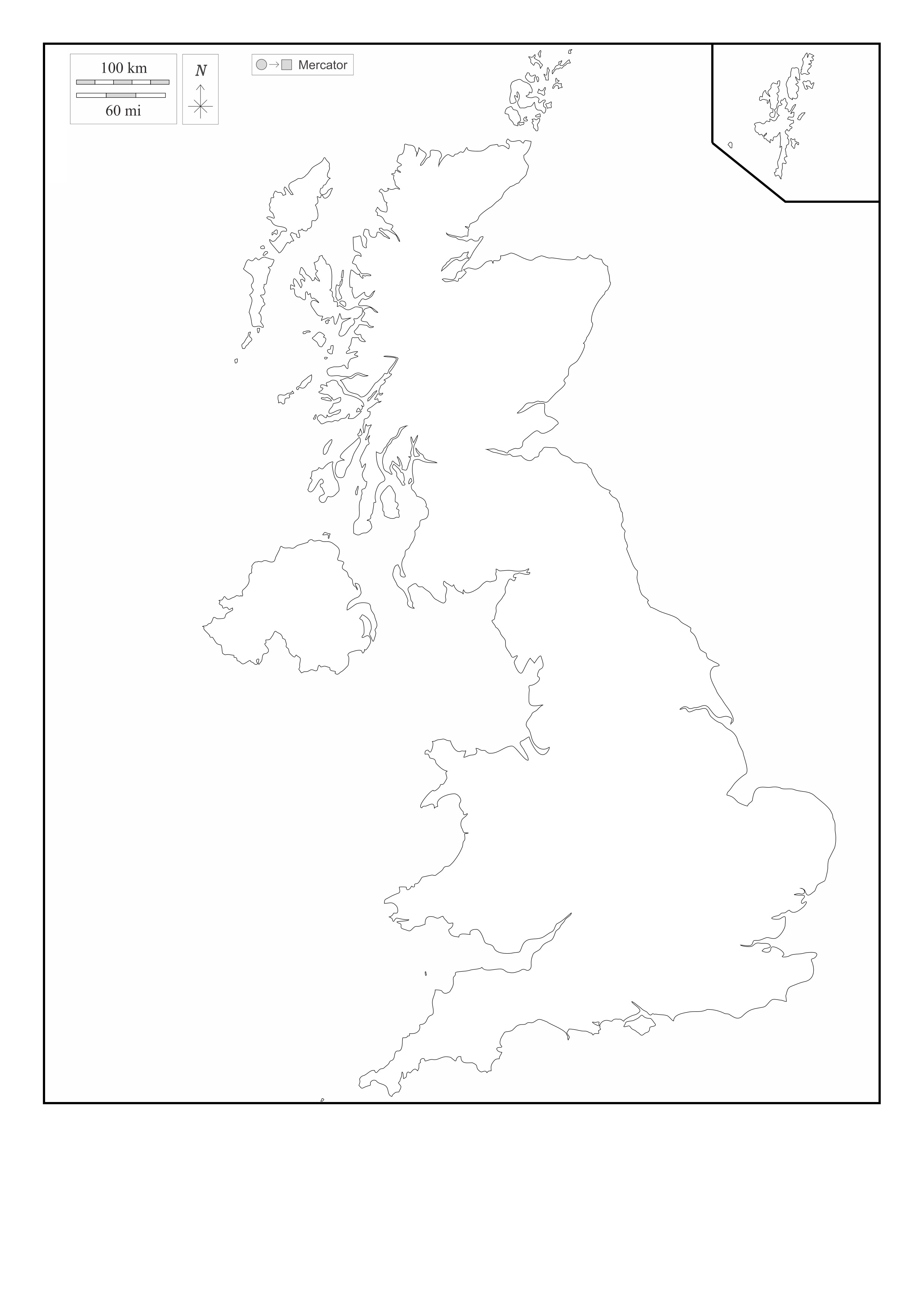
A blank map of the United Kingdom is a valuable resource for students, travelers, researchers, and business professionals. This map provides a clear outline of the country’s geographical boundaries without any labels, allowing users to customize it according to their needs. It is available in PDF, JPG, and PNG formats, making it easy to download, print, and modify.
Why Should You Download a Blank Map of United Kingdom?
A blank map of the United Kingdom is useful for educational purposes, travel planning, research, business analysis, and content creation. Since the map does not have pre-labeled names, it can be personalized based on different requirements.
Educational Uses
A blank map of the United Kingdom is widely used in schools and universities to teach geography, history, and political science.
Teachers can use this map for:
- Teaching the geography of the UK, including its regions and major landmarks
- Assigning map-based quizzes and projects
- Explaining historical changes in the country’s borders
Students can use the map for:
- Labeling cities, rivers, and geographical features
- Completing school assignments and research projects
- Enhancing their map-reading and geographic skills
The PDF format is ideal for classroom printing and assignments.
Travel Planning and Route Mapping
A blank map of the United Kingdom is a useful tool for travelers and travel bloggers who want to plan their routes and mark important locations.
Travelers can use the map to highlight:
- Major cities such as London, Edinburgh, Cardiff, and Belfast
- Tourist attractions, including Big Ben, Stonehenge, and the Scottish Highlands
- Travel routes, road trip paths, and transportation hubs
The PNG format is perfect for digital travel guides and blogs.
Research and Survey Applications
Researchers and surveyors use blank maps of the United Kingdom for field studies, data collection, and geographical analysis.
This map is useful for:
- Marking research locations and survey points
- Studying population distribution and environmental factors
- Conducting historical and political research
The PDF version is best for official reports, while the PNG format is great for visual presentations.
Business Planning and Market Analysis
A blank map of the United Kingdom is a valuable tool for business professionals and market researchers. It helps in identifying business locations, distribution networks, and potential markets.
Businesses can use the map to:
- Mark logistics routes and trade zones
- Analyze business expansion opportunities
- Plan supply chain and delivery networks
The JPG format is lightweight and ideal for presentations, while the PDF format is great for detailed reports.
Content Creation and Graphic Design
A blank map of the United Kingdom is helpful for graphic designers, content creators, and educators who need visual materials.
It can be used for:
- Creating infographics and educational materials
- Designing travel guides and promotional content
- Producing maps for social media and websites
The PNG format is excellent for design projects due to its transparent background.
Available Formats for Blank Map of United Kingdom
A blank map of the United Kingdom is available in different formats, each suitable for specific uses.
PDF Format
- High-quality resolution for educational and professional use
- Ideal for printing and official reports
- Best for classroom and research documentation
JPG Format
- Lightweight file for easy sharing online
- Suitable for blog posts and presentations
PNG Format
- Transparent background for customization
- Ideal for graphic design and visual content
Location of United Kingdom on the Map of Europe
The United Kingdom is located in northwestern Europe, consisting of England, Scotland, Wales, and Northern Ireland. It is bordered by the Atlantic Ocean, the North Sea, the Irish Sea, and the English Channel, with Ireland as its only land neighbor.
Major locations include London, the capital, Edinburgh, a cultural hub, and Belfast, the capital of Northern Ireland. The UK is known for its diverse landscapes, from rolling hills and rugged coastlines to bustling urban centers.
A blank map of the United Kingdom allows users to study its geographical features, mark key locations, and analyze its position within Europe.
Why Should You Download This Blank Map of United Kingdom?
Some key benefits of using this blank map include:
- Provides an accurate geographical outline of the UK
- Available in PDF, JPG, and PNG formats for different needs
- Useful for education, travel planning, business, and research
- Allows customization for labeling, route planning, and analysis
- Easy to download, print, and edit for multiple applications
The PDF version is best for printing and academic use, the JPG version is great for digital reference, and the PNG version is perfect for creative design projects.
Final Thoughts
A map of the United Kingdom is a valuable tool for students, teachers, travelers, researchers, business professionals, and designers. It provides a clear and customizable outline that can be used for various purposes.
Whether you need it for education, travel planning, market analysis, or content creation, this blank map offers maximum flexibility. Download the PDF for printing, JPG for digital use, or PNG for creative projects today and use it for your specific needs.