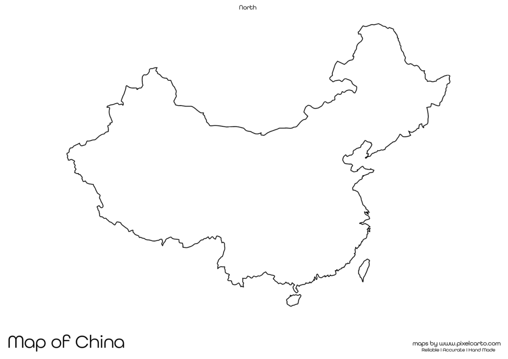
Blank Map of China PDF, JPG, and PNG for Free Download
If you are looking for a blank map of China, this resource will be highly useful for you. It provides a clear and accurate outline of China’s geographical boundaries without any pre-labeled content. This map is ideal for educational purposes, travel planning, research documentation, market analysis, and content creation. The blank map is available in three major formats: PDF, JPG, and PNG, allowing you to download and use it as per your needs.
The blank map of China is especially beneficial for students, teachers, researchers, business professionals, travelers, and content creators. Whether you need the map for school projects, travel planning, market research, or graphic designing, you can easily customize the map according to your purpose. You can add text, labels, routes, or icons based on your requirements.
Why Should You Download a Blank Map of China?
The blank map of China serves different purposes depending on the user. It is useful for educational, business, travel, and research purposes. Here are some of the most common uses of the blank map of China.
Educational Purpose
The blank map of China is highly beneficial for students and teachers in educational institutions. Teachers can use the map for classroom assignments, geography lessons, and quiz activities. It helps students learn about China’s geographical boundaries, neighboring countries, major cities, and natural features.
Students can use this map for map-labeling activities, geography practice, or school assignments. They can label cities such as Beijing, Shanghai, Guangzhou, Shenzhen, and Chengdu or mark major rivers, mountains, and borders. This enhances their understanding of China’s geography.
The PDF version of the map is ideal for classroom distribution because it allows teachers to print multiple copies of the map for educational purposes. The map can also be used for practice tests, map quizzes, or homework assignments.
Travel Planning and Route Mapping
The blank map of China is also helpful for travelers, travel bloggers, and tour operators. If you are planning a trip to China, you can use this map to plan your travel routes, mark tourist destinations, note accommodation points, and identify transportation hubs.
Popular places that travelers can mark on the map include the Great Wall of China, the Forbidden City, the Terracotta Army, and scenic spots in major cities like Beijing, Shanghai, Guangzhou, and Xi’an. The map allows you to design your travel itinerary and customize your trip plan accordingly.
The PNG format is especially useful for travel bloggers and content creators. It allows you to design travel guides, visual content, and blog posts with a customized map showing your travel route, places to visit, or travel itinerary.
Research and Survey Documentation
Researchers, surveyors, and fieldwork professionals can use the blank map of China for research documentation and survey planning. The map is beneficial for marking research sites, survey points, data collection areas, and geographical zones.
This map is commonly used in:
- Population studies.
- Geographical research.
- Environmental and land use research.
- Infrastructure survey.
The PDF version is highly recommended for official research documentation, while the PNG version is ideal for adding visual content to research presentations. Researchers can also add their own notes, text, or symbols to the map for easy reference.
Business Planning and Market Research
Business professionals, entrepreneurs, and market researchers can use the blank map of China for business planning and market research. This map helps in visualizing business operations, delivery zones, target markets, and distribution channels.
For example, delivery service providers or logistics companies can use the map to outline delivery zones and service areas. Similarly, businesses looking to expand their operations in China can use the map for market research, territory planning, or regional documentation.
The JPG version of the map is suitable for presentations, reports, and online content. The PDF version is ideal for business documentation, while the PNG format is perfect for content creators and marketers.
Content Creation and Visual Design
Content creators, graphic designers, and social media marketers can use the blank map of China for content creation, visual design, and infographic making. The PNG version is widely preferred by content creators as it comes with a transparent background, allowing easy customization.
Content creators can use the map for:
- Creating travel infographics.
- Designing research visuals.
- Developing promotional content.
- Customizing business maps.
The PNG map is also useful for creating educational videos, blog posts, or social media content that require geographical visuals. This format allows for easy customization without any background interference.
Available Formats of Blank Map of China
The blank map of China is available in three major file formats, each offering unique benefits depending on the purpose of use.
PDF Format:
The PDF format is ideal for high-quality printing, educational purposes, research documentation, and professional reports. It allows clear printing without any resolution issues, making it suitable for classroom use, survey documentation, and research work.
JPG Format:
The JPG format is lightweight and easy to download, making it perfect for embedding in blog posts, social media content, and online presentations. It is widely used for digital purposes like website content, business presentations, and social media sharing.
PNG Format:
The PNG format comes with a transparent background, making it perfect for graphic designing, content creation, and infographics. This format is suitable for creating travel guides, custom maps, promotional visuals, and educational content.
Location of China on the Map of Asia
China is located in East Asia and is the world’s most populous country. It shares borders with 14 countries, including India, Russia, Mongolia, North Korea, and Vietnam. The capital city of China is Beijing, and it is also home to major cities such as Shanghai, Guangzhou, and Shenzhen.
China is known for its rich cultural heritage, advanced technology, and diverse geographical landscape. The country has major rivers like the Yangtze and Yellow River, along with prominent mountains such as the Himalayas in the southwest.
A blank map of China helps users understand the country’s geographical boundaries, major cities, and neighboring countries. It is highly beneficial for educational, business, travel, and research purposes.
Why Should You Download This Blank Map of China?
Here are the major benefits of downloading the blank map of China:
- Provides clear and accurate geographical boundaries of China.
- Allows full customization for educational, travel, or business use.
- Available in PDF, JPG, and PNG formats.
- Suitable for school projects, travel planning, research documentation, and visual content creation.
- Easy to download, print, and use.
The PDF version is ideal for printing, classroom use, and research documentation. The JPG version is suitable for online use, blog posts, and presentations. The PNG version is perfect for creating visual content, infographics, and promotional materials.
Final Thoughts
The blank map of China is a valuable resource for students, teachers, travelers, researchers, business professionals, and content creators. It provides clear geographical boundaries without any labels, allowing full customization according to your needs.
Whether you need the map for classroom assignments, travel planning, business expansion, research documentation, or content creation, this map offers complete flexibility. You can easily download the map in PDF for printing, JPG for online content, or PNG for visual design.
Download your blank map of China today and use it for educational, travel, business, or creative purposes.