Democratic Republic of the Congo Printable Map PDF, JPG, and PNG for Free Download
If you are looking for a Democratic Republic of the Congo printable map, you have come to the right place. This map provides a clear and simple outline of Democratic Republic of the Congo (DRC) without any labels, making it ideal for educational, travel, business, or personal use. The map is available in three different formats – PDF, JPG, and PNG, allowing you to download it based on your needs.
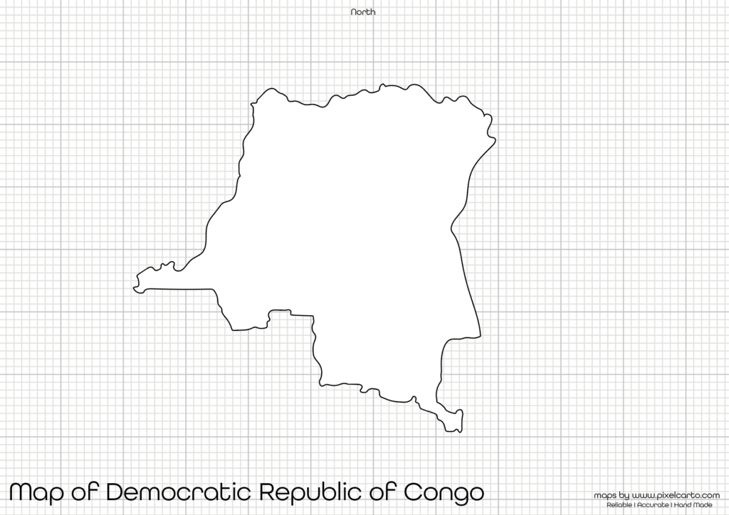
This blank map of Democratic Republic of the Congo has been created with accurate borders, ensuring high precision and clear boundaries. It does not include any city names, roads, or internal divisions, making it easier to customize or add your own information. Whether you are a student, teacher, traveler, or researcher, this map is a perfect resource for learning, planning, or creating presentations.
Why Should You Download a Printable Map of Democratic Republic of the Congo?
A printable map of the Democratic Republic of the Congo (DRC) is highly beneficial for several purposes. The map has no pre-added labels, allowing you to customize it for educational, travel, business, or creative projects. Here are a few reasons why this map is helpful.
Educational Purpose
Teachers and students often require a blank map of the Democratic Republic of the Congo for educational purposes. Teachers can use this map for classroom activities, tests, and map labeling assignments, while students can label major cities, rivers, and bordering countries for better learning. This printable map makes it easier to understand the geography of the country.
Travel Planning
Travelers planning a trip to the Democratic Republic of the Congo can use this map to plan their travel routes, mark tourist destinations, and map their journey. Travel bloggers and content creators can also use this map for creating customized travel guides and visual content about the country.
Sketching or Art Projects
If you enjoy sketching maps or creating customized map designs, this map of Democratic Republic of the Congo is perfect. With no internal labels or text, it gives you full creative freedom to draw, sketch, or create personalized maps as per your choice. Artists and designers often use blank maps for creative purposes.
Business or Project Planning
Business professionals, researchers, and project managers working on development projects in the Democratic Republic of the Congo can use this map for marking project sites, resource areas, or potential business locations. This map allows you to visualize project planning without any pre-added text.
Professional Research or Documentation
Researchers working on studies related to the Democratic Republic of the Congo often need a simple map for reference, labeling, or data representation. This printable map helps in adding data points, locations, or research-based content without any distractions.
Available Formats for Democratic Republic of the Congo Printable Map
The Democratic Republic of the Congo printable map is available in three different formats – PDF, JPG, and PNG. Depending on your requirement, you can download any of these formats for free. Each format has its own advantages.
Democratic Republic of the Congo Printable Map PDF
The PDF format is ideal for high-quality printing. If you need the map for educational purposes, presentations, business reports, or official documents, the PDF format will give you sharp and clear print quality. It also allows you to resize the map without losing any quality.
Benefits of the PDF format:
- High-quality resolution for printing purposes.
- Easy to scale or resize the map.
- Perfect for educational and professional use.
Democratic Republic of the Congo Printable Map JPG
The JPG format is suitable for digital use. If you need the map for social media content, presentations, websites, or quick references, the JPG format is ideal. It is lightweight, easy to download, and perfect for online usage.
Benefits of the JPG format:
- Lightweight and easy to use.
- Best for digital use such as presentations or blogs.
- Quick to download and share.
Democratic Republic of the Congo Printable Map PNG
The PNG format is mostly used by graphic designers and content creators. It comes with a transparent background, allowing you to add the map to any design, infographic, or visual content. This format is highly recommended for digital content creation.
Benefits of the PNG format:
- Transparent background for easy customization.
- Best for graphic designing or visual content creation.
- High-resolution quality for digital use.
Location of the Democratic Republic of the Congo on the Map of Africa
The Democratic Republic of the Congo (DRC) is located in Central Africa. It is the second-largest country in Africa and shares borders with nine countries. These neighboring countries include Angola, Zambia, Tanzania, Burundi, Rwanda, Uganda, South Sudan, Central African Republic, and Republic of the Congo.
The capital city of the Democratic Republic of the Congo is Kinshasa, which is also one of the largest cities in Africa. The Congo River, one of the longest rivers in the world, flows through the country, making it a significant geographical feature.
Understanding the country’s location on the map of Africa helps travelers, students, and researchers gain a better understanding of the country’s geography and neighboring regions.
Why Is This Printable Map of Democratic Republic of the Congo Recommended?
The Democratic Republic of the Congo printable map offered here is carefully designed with accurate borders and a clean layout. It does not include any text, city names, or internal divisions, giving users complete freedom to customize it according to their requirements.
Here’s why this map is highly recommended:
- It is available in three different formats – PDF, JPG, and PNG.
- Offers a clear and accurate outline of the Democratic Republic of the Congo.
- Can be used for educational, professional, travel, or creative purposes.
- Provides high-quality resolution for printing, designing, or documentation.
- Gives users the flexibility to add labels, text, or custom content as required.
Whether you are a teacher, student, researcher, traveler, business professional, or content creator, this map will serve all purposes without any limitations. You can customize it for labeling, travel planning, research work, or professional documentation without any hassle.
Final Thoughts
A Democratic Republic of the Congo printable map is a valuable resource for various personal, educational, and professional uses. Whether you need it for school assignments, travel planning, map sketching, research work, or project documentation, this map will perfectly meet your needs.
You can download the map in PDF format for high-quality printing, JPG format for digital content, or PNG format for graphic designing purposes. Since the map does not have any pre-added labels, you have the complete freedom to customize it according to your purpose.