Blank Map of Georgia PDF, JPG, and PNG for Free Download
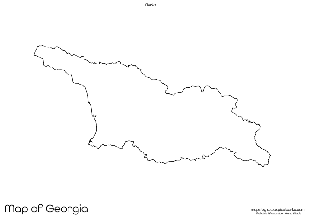
If you are looking for a blank map of Georgia, this resource will be highly beneficial for you. It offers a clear and accurate outline of Georgia’s geographical boundaries without any pre-labeled text. This blank map is available in PDF, JPG, and PNG formats, allowing you to easily download, print, and use it according to your specific needs.
The blank map of Georgia is particularly useful for students, teachers, travelers, researchers, business professionals, and content creators. Whether you need the map for educational purposes, travel documentation, market research, or visual design, it provides complete customization flexibility. You can add labels, text, routes, or symbols based on your needs.
Why Should You Download a Blank Map of Georgia?
The blank map of Georgia can serve various purposes for different users. It can be used in educational institutions, business meetings, travel planning, research documentation, or content creation. Below are some of the most common uses of the blank map of Georgia.
Educational Purpose
The blank map of Georgia is widely used in educational institutions, schools, and colleges for teaching purposes. Teachers often use this map in classroom assignments, geography lessons, and map-labeling activities. It helps students understand the geographical boundaries of Georgia, its neighboring countries, and major cities.
Students can label major cities such as Tbilisi, Batumi, Kutaisi, Rustavi, and Zugdidi. They can also mark major rivers, mountains, and neighboring countries to improve their knowledge of Georgia’s geography. This map helps in learning about the country’s political and physical features.
The PDF version is ideal for educational use as teachers can easily print multiple copies of the map for classroom distribution, homework assignments, and practice tests.
Travel Planning and Route Mapping
Travelers, travel bloggers, and tour operators can benefit greatly from the blank map of Georgia. If you are planning a trip to Georgia, you can use the map to plan your travel routes, mark popular tourist destinations, note accommodation locations, and identify transportation hubs.
Popular travel destinations that you can mark on the map include Tbilisi, Batumi, Kazbegi, Mestia, and the Black Sea Coast. Using a blank map allows you to customize your travel itinerary and ensure you don’t miss any major tourist spots.
The PNG format of the map is highly recommended for travel bloggers and content creators who want to create travel guides, itineraries, or blog posts with a customized map. The transparent background of the PNG map makes it easier to add travel routes, icons, or text without any background disruption.
Research and Survey Documentation
For researchers, surveyors, and fieldwork professionals, the blank map of Georgia is a valuable resource for documentation and survey planning. This map is often used to mark survey locations, research zones, data collection points, and fieldwork sites.
The blank map of Georgia can be used in the following research areas:
- Population studies.
- Geographical research.
- Environmental surveys.
- Infrastructure mapping.
- Regional development research.
The PDF format is ideal for research documentation, while the PNG format is perfect for creating visual presentations. Researchers can add their own notes, text, or data points to customize the map according to their research findings.
Business Planning and Market Research
Business professionals, entrepreneurs, and market researchers can use the blank map of Georgia for business planning, market analysis, and operational documentation. The map is helpful in visualizing business locations, delivery routes, distribution zones, and target markets.
For example, logistics companies or delivery service providers can use this map to identify delivery zones and operational areas. Similarly, businesses looking to expand in Georgia can use the map for market research and strategic planning.
The JPG format is ideal for embedding the map in business presentations, research reports, or marketing plans. The PDF format is suitable for official documentation, while the PNG format is highly useful for digital content creation.
Content Creation and Visual Design
Content creators, graphic designers, and social media marketers can use the blank map of Georgia for visual design, content creation, and infographic making. The PNG format with a transparent background allows easy customization, making it perfect for content creation purposes.
Content creators can use the map to:
- Design educational infographics.
- Create travel itineraries and travel guides.
- Develop research presentations.
- Customize business maps with text and icons.
The map allows complete flexibility for adding custom labels, colors, icons, and content, making it suitable for content creation and visual representation.
Available Formats of Blank Map of Georgia
The blank map of Georgia is available in three major file formats, each designed to serve different purposes.
PDF Format:
The PDF format is ideal for high-quality printing, educational purposes, research documentation, and business reports. It offers clear and accurate map outlines, making it suitable for classroom use and official documentation.
JPG Format:
The JPG format is lightweight and perfect for embedding in blog posts, online content, social media posts, and presentations. It is easy to download, share, and use on digital platforms.
PNG Format:
The PNG format has a transparent background, making it highly useful for content creators and graphic designers. This format is perfect for creating infographics, travel guides, custom maps, and visual content without any background interference.
Location of Georgia on the Map of Asia
Georgia is located in the South Caucasus region of Eurasia, positioned between Europe and Asia. It is bordered by Russia to the north, Turkey and Armenia to the south, Azerbaijan to the southeast, and the Black Sea to the west. The capital city of Georgia is Tbilisi.
Georgia is known for its rich cultural heritage, historical landmarks, and diverse landscapes. Major cities that can be marked on the map include Tbilisi, Batumi, Kutaisi, Rustavi, and Zugdidi.
The blank map of Georgia helps users understand the geographical position of the country, identify neighboring countries, and mark major cities and tourist attractions. This map is especially helpful for educational, business, travel, and research purposes.
Why Should You Download This Blank Map of Georgia?
Here are the major benefits of downloading the blank map of Georgia:
- Provides clear and accurate geographical boundaries of Georgia.
- Allows full customization for educational, travel, business, or research use.
- Available in PDF, JPG, and PNG formats.
- Suitable for school assignments, travel planning, research documentation, and visual content creation.
- Easy to download, print, and use.
The PDF version is ideal for classroom distribution, official documentation, and research work. The JPG version is perfect for online content, presentations, and blog posts. The PNG version is highly useful for content creators and graphic designers.
Final Thoughts
The blank map of Georgia is a highly valuable resource for students, teachers, travelers, researchers, business professionals, and content creators. It provides clear and accurate geographical boundaries without any labels, allowing full customization based on your needs.
Whether you need the map for educational assignments, business planning, travel documentation, or content creation, this map offers complete flexibility. You can easily download the map in PDF for printing, JPG for online use, or PNG for visual design.