Blank Map of Indonesia PDF, JPG, and PNG for Free Download
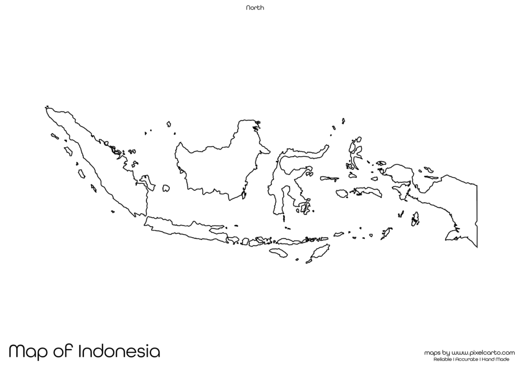
If you are looking for a blank map of Indonesia, this resource is perfect for you. It provides a clear and accurate outline of Indonesia’s geographical boundaries without any pre-labeled text, making it suitable for educational, travel, business, research, or creative purposes. The blank map of Indonesia is available in PDF, JPG, and PNG formats, allowing you to download, print, and use it as per your requirements.
This map is highly beneficial for students, teachers, researchers, travelers, business professionals, and content creators. Whether you want to use it for educational assignments, travel planning, survey documentation, or content creation, this map offers complete customization flexibility. You can add your own labels, routes, text, or icons based on your needs.
Why Should You Download a Blank Map of Indonesia?
The blank map of Indonesia serves multiple purposes for different users, including educational, travel, research, business, and content creation purposes. It allows you to customize the map according to your purpose without any pre-defined content. Below are some of the most common uses of the blank map of Indonesia.
Educational Purpose
The blank map of Indonesia is widely used in educational institutions, schools, and colleges for educational purposes. Teachers often use this map to conduct geography lessons, classroom assignments, and quiz activities to help students understand the geographical structure of Indonesia.
Students can use the map for map-labeling activities, geography practice, and school assignments. They can label major cities like Jakarta, Surabaya, Medan, Bandung, and Semarang. Additionally, they can mark islands like Sumatra, Java, Bali, Sulawesi, and Papua, helping them understand the country’s physical structure.
The PDF format is ideal for classroom use as teachers can print multiple copies for educational tasks and assignments. The clear outline of the map allows students to draw or label various geographical features, making it easier to learn.
Travel Planning and Route Mapping
Travelers, travel bloggers, and tour operators can use the blank map of Indonesia for travel planning and documenting their travel routes. If you are planning a trip to Indonesia, you can use this map to plan your travel routes, mark tourist attractions, note accommodation locations, and map out transportation points.
Popular tourist destinations such as Bali, Jakarta, Yogyakarta, Lombok, and Komodo Island can be marked on the map. Travelers can also use the map to plan ferry routes, island-hopping trips, and sightseeing plans.
The PNG version of the map is highly suitable for travel bloggers and content creators. They can use it to create travel guides, travel itineraries, or custom maps without any background interference, ensuring smooth and clean map design.
Research and Survey Documentation
For researchers, surveyors, and fieldwork professionals, the blank map of Indonesia is a valuable tool for research documentation and survey planning. The map can be used to mark survey locations, research zones, data collection points, and fieldwork sites.
Some of the common areas of research where this map can be used include:
- Environmental and geographical research.
- Population and demographic studies.
- Market research and business documentation.
- Resource and infrastructure mapping.
The PDF version is perfect for official research documentation, while the PNG version is ideal for creating research visuals, maps, and presentations. Researchers can add custom text, symbols, or survey points based on their study areas.
Business Planning and Market Research
The blank map of Indonesia is also highly useful for business professionals, market researchers, and entrepreneurs. It helps them plan business operations, map target markets, identify distribution routes, and visualize business locations.
For example, logistics companies can use the map to mark delivery zones, distribution centers, and service coverage areas. Similarly, businesses looking to expand in Indonesia can use the map for market research and business planning purposes.
The JPG format is ideal for embedding the map in business presentations, market research reports, and proposals. The PDF version is suitable for official business documentation, while the PNG format is perfect for designing visual presentations and custom maps.
Content Creation and Visual Design
Content creators, graphic designers, and social media marketers can use the blank map of Indonesia for visual design, content creation, and infographic development. The PNG version of the map comes with a transparent background, allowing easy customization without any background interference.
Content creators can use the map for:
- Creating educational infographics.
- Designing travel itineraries and travel guides.
- Developing market research reports.
- Customizing business or delivery zone maps.
The transparent background in the PNG format allows designers to add their own text, colors, icons, and custom labels, making it highly suitable for content creation and visual representation.
Available Formats of Blank Map of Indonesia
The blank map of Indonesia is available in three major file formats to cater to different user needs.
PDF Format:
The PDF format of the map is highly recommended for high-quality printing, official documentation, classroom assignments, and research purposes. This format is easy to print and distribute in bulk.
JPG Format:
The JPG format is lightweight and perfect for online use, website content, blog posts, social media posts, and business presentations. It is easy to download, share, and embed in various digital platforms.
PNG Format:
The PNG format comes with a transparent background, allowing easy customization for content creation, visual design, and infographic development. It is ideal for creating travel guides, educational infographics, and custom maps.
Location of Indonesia on the Map of Asia
Indonesia is a Southeast Asian country consisting of over 17,000 islands and located between the Indian Ocean and the Pacific Ocean. It is bordered by Malaysia to the north, Papua New Guinea to the east, and Timor-Leste to the southeast. Its capital city is Jakarta.
Indonesia is known for its beautiful landscapes, popular tourist destinations, and rich cultural heritage. Major cities that can be marked on the map include Jakarta, Bali, Surabaya, Bandung, and Medan. Additionally, travelers can mark popular tourist sites like Borobudur Temple, Komodo Island, and Mount Bromo.
The blank map of Indonesia allows users to understand the geographical position of the country, identify major cities, and explore its diverse islands and regions. It is highly beneficial for educational, travel, business, and research purposes.
Why Should You Download This Blank Map of Indonesia?
Here are some major benefits of downloading the blank map of Indonesia:
- Provides clear and accurate geographical boundaries of Indonesia.
- Allows full customization for educational, travel, business, or research purposes.
- Available in PDF, JPG, and PNG formats.
- Suitable for classroom assignments, travel planning, business presentations, and research documentation.
- Easy to download, print, and use.
The PDF version is ideal for educational purposes, classroom assignments, and official documentation. The JPG version is perfect for online content, blog posts, and presentations. The PNG version is highly useful for content creators, designers, and visual storytellers.
Final Thoughts
The blank map of Indonesia is a highly valuable resource for students, teachers, travelers, researchers, business professionals, and content creators. It offers a clear and accurate outline of the country without any pre-labeled text, giving you the freedom to customize it as per your needs.
Whether you need the map for educational purposes, business documentation, travel planning, or content creation, this map serves all purposes. You can easily download the map in PDF for high-quality printing, JPG for online use, or PNG for design purposes.