Blank Map of Iran PDF, JPG, and PNG for Free Download
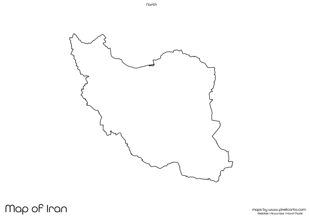
If you are searching for a blank map of Iran, this resource is perfect for you. It provides a clear and accurate outline of Iran’s geographical boundaries without any pre-labeled content, making it ideal for educational, research, travel, business, or creative purposes. This blank map of Iran is available in PDF, JPG, and PNG formats, allowing you to download, print, and use it according to your needs.
This map is highly beneficial for students, teachers, researchers, travelers, business professionals, and content creators. Whether you want to use it for classroom assignments, travel route planning, survey documentation, or content design, the blank map of Iran offers complete customization. You can add text, labels, boundaries, or any custom element to suit your purpose.
Why Should You Download a Blank Map of Iran?
The blank map of Iran is highly versatile and can be used for educational, research, business, or content creation purposes. It provides a clear outline of the country, allowing users to customize it according to their specific needs. Below are some of the major uses of the blank map of Iran.
Educational Purpose
The blank map of Iran is widely used in schools, colleges, and educational institutions for classroom teaching, assignments, and educational activities. Teachers can use this map to explain the geographical boundaries, major cities, and neighboring countries of Iran.
Students can also use the map for educational projects, map labeling activities, and practice tests. By labeling major cities such as Tehran, Mashhad, Isfahan, Shiraz, and Tabriz, students can enhance their geographical knowledge of Iran.
The PDF format is ideal for classroom activities as teachers can print multiple copies for assignments, classroom projects, and test papers. This helps students gain a better understanding of the geographical features of Iran.
Travel Planning and Route Mapping
Travelers, travel bloggers, and tour operators often use the blank map of Iran for travel planning and route mapping. If you are planning a trip to Iran, you can use this map to plan your travel routes, mark tourist destinations, accommodation locations, and transportation points.
Some of the major tourist attractions that travelers can mark on the map include the Golestan Palace, Persepolis, Nasir al-Mulk Mosque, Mount Damavand, and the Persian Gulf coast. This map allows travelers to create a clear travel route and avoid missing any major attractions.
The PNG version of the map is highly suitable for travel bloggers and content creators. It allows easy customization, enabling them to design travel guides, travel blog content, or visual maps for their travel websites without any background interference.
Research and Survey Documentation
The blank map of Iran is also valuable for researchers, surveyors, and fieldwork professionals. It allows them to document research findings, survey locations, and data collection points. Researchers working on geographical, environmental, or population-based studies can use the map to highlight research zones, survey areas, or data collection points.
Common research purposes where the blank map of Iran can be used include:
- Population research.
- Environmental surveys.
- Infrastructure development research.
- Geographical and demographic studies.
The PDF version is ideal for research documentation, while the PNG version is highly suitable for creating research presentations or visual data reports. Researchers can also add custom text, icons, or symbols to the map based on their research purpose.
Business Planning and Market Research
The blank map of Iran is also beneficial for business professionals, entrepreneurs, and market researchers. It helps them plan business operations, visualize market territories, identify target markets, and map business locations.
For example, businesses can use the map to mark their business branches, distribution routes, service coverage areas, and target markets. Delivery companies and logistics service providers can use the map to document delivery zones, shipment points, and service areas.
The JPG version of the map is perfect for embedding in business presentations, reports, and official documents. On the other hand, the PNG version is ideal for creating business maps, visual content, or market research maps.
Content Creation and Visual Design
Content creators, social media marketers, and graphic designers can use the blank map of Iran for content creation and visual design purposes. The PNG format is highly recommended for creating educational infographics, travel guides, promotional content, or custom visual maps.
Content creators can use the map for:
- Designing educational infographics.
- Creating travel content and travel itineraries.
- Developing market research reports.
- Creating content for business or research presentations.
The transparent background in the PNG version allows designers to easily customize the map without any background disturbance. This makes it ideal for creating high-quality visual content.
Available Formats of Blank Map of Iran
The blank map of Iran is available in three major formats to serve different purposes.
PDF Format:
The PDF format is perfect for high-quality printing, official documentation, classroom assignments, and research purposes. It allows easy printing and distribution, making it ideal for educational and professional use.
JPG Format:
The JPG format is lightweight and suitable for online content, blog posts, business presentations, and social media content. It can be easily downloaded, shared, and embedded in various digital platforms.
PNG Format:
The PNG format comes with a transparent background, allowing content creators and designers to customize the map as per their requirements. This format is ideal for infographic design, visual content creation, and promotional content.
Location of Iran on the Map of Asia
Iran is a large country located in Western Asia and bordered by several countries. It shares borders with Iraq, Turkey, Armenia, Azerbaijan, Turkmenistan, Afghanistan, and Pakistan. The country also has coastlines along the Caspian Sea and the Persian Gulf.
Iran’s capital city is Tehran, which is also the largest and most populated city in the country. Other major cities include Mashhad, Isfahan, Shiraz, and Tabriz. The country is known for its rich cultural heritage, historical sites, and natural landscapes.
The blank map of Iran helps users understand the geographical position of the country, identify its major cities, and explore its geographical features. This makes it highly useful for educational, business, and travel purposes.
Why Should You Download This Blank Map of Iran?
Here are some major reasons why you should download the blank map of Iran:
- Provides a clear and accurate outline of Iran’s geographical boundaries.
- Allows complete customization for educational, research, travel, and business purposes.
- Available in PDF, JPG, and PNG formats.
- Suitable for classroom assignments, travel planning, market research, and content creation.
- Easy to download, print, and use.
The PDF version is highly suitable for classroom assignments, educational tasks, and research documentation. The JPG version is perfect for embedding in online content, blog posts, and business presentations. The PNG version is ideal for visual content creation, infographic design, and travel planning.
Final Thoughts
The blank map of Iran is a highly valuable resource for students, teachers, researchers, travelers, business professionals, and content creators. It provides a clear and accurate outline of the country without any pre-labeled content, allowing users to fully customize the map based on their needs.
Whether you need the map for educational, business, travel, research, or content creation purposes, this map offers complete flexibility. You can easily download the map in PDF for high-quality printing, JPG for online use, or PNG for visual design.