Blank Map of Iraq PDF, JPG, and PNG for Free Download
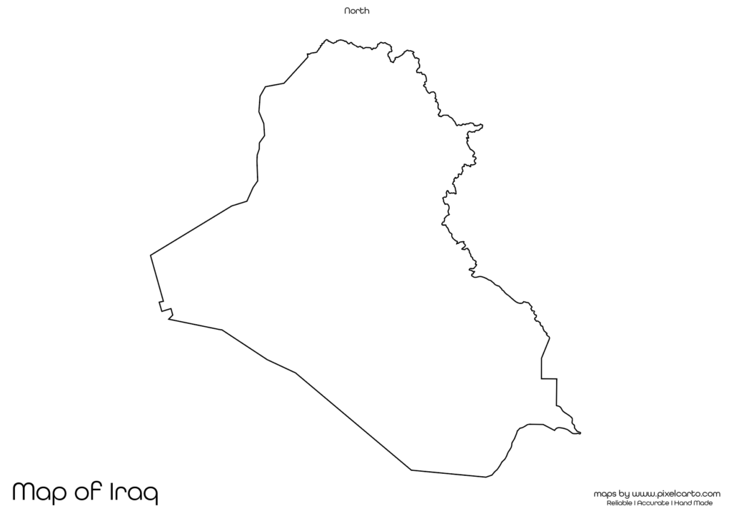
If you are looking for a blank map of Iraq, this resource is perfect for you. It provides a clear and accurate outline of Iraq’s geographical boundaries without any pre-labeled content, making it highly useful for educational, business, travel, research, and creative purposes. The blank map of Iraq is available in PDF, JPG, and PNG formats, allowing users to download, print, and customize it according to their specific needs.
This map is especially beneficial for students, teachers, travelers, researchers, content creators, and business professionals. Whether you need it for classroom assignments, travel route planning, business documentation, or research work, this blank map offers full customization flexibility. You can add labels, text, routes, or boundaries as per your requirements.
Why Should You Download a Blank Map of Iraq?
The blank map of Iraq serves a wide range of purposes, including educational, business, travel, and content creation tasks. It is designed to allow users to customize it based on their needs. Below are some of the most popular uses of the blank map of Iraq.
Educational Purpose
The blank map of Iraq is highly useful for educational purposes in schools, colleges, and other educational institutions. Teachers often use this map to conduct geography lessons, classroom assignments, and quiz activities to help students understand the geographical boundaries of Iraq.
Students can use this map for learning purposes, map labeling assignments, and geography tests. They can label major cities like Baghdad, Basra, Mosul, Najaf, and Erbil, helping them understand the country’s structure better. Additionally, they can mark Iraq’s neighboring countries such as Iran, Turkey, Saudi Arabia, Kuwait, Jordan, and Syria.
The PDF version of the map is highly recommended for classroom assignments and educational tasks as teachers can easily print multiple copies and distribute them among students. This map helps students get a clear understanding of Iraq’s geography and geographical structure.
Travel Planning and Route Mapping
Travelers, travel bloggers, and tour operators can use the blank map of Iraq for travel planning and documenting travel routes. If you are planning a trip to Iraq, you can use this map to outline your travel destinations, transportation points, accommodation places, and sightseeing spots.
Popular tourist destinations in Iraq that can be marked on the map include the ancient city of Babylon, the Erbil Citadel, Al-Shaheed Monument in Baghdad, the Ziggurat of Ur, and the city of Karbala. Travel bloggers and content creators can also use the PNG format of the map to design travel guides or blog content.
The PNG version is especially helpful for digital travel content as it comes with a transparent background, allowing easy customization for travel route designs, travel guides, and infographic development.
Research and Survey Documentation
The blank map of Iraq is also valuable for researchers, surveyors, and fieldwork professionals who need to conduct geographical, demographic, or environmental research. This map can be used to document survey areas, research zones, data collection points, and resource sites.
For example, researchers working on infrastructure projects, environmental research, or population studies can use the map to highlight key research areas. Additionally, it can be used to track survey points, document infrastructure plans, or highlight research data locations.
The PDF version is perfect for official research documentation, while the PNG version can be customized for visual presentations, infographics, or data-driven maps.
Business Planning and Market Research
For business professionals, entrepreneurs, and market researchers, the blank map of Iraq is highly beneficial for business planning, market research, and operational planning. This map can be used to mark business locations, delivery zones, target markets, distribution routes, and business expansion areas.
For example, delivery service providers, logistics companies, and distribution agencies can use the map to plan their delivery zones, track transportation routes, and outline target market areas. Similarly, businesses planning to expand their operations in Iraq can use the map for business presentations and documentation.
The JPG format of the map is perfect for embedding it in business presentations, reports, and digital content. On the other hand, the PNG format is highly suitable for content creation, visual design, and social media promotions.
Content Creation and Visual Design
Content creators, graphic designers, and social media marketers can use the blank map of Iraq for creating visual content, infographics, and promotional designs. The PNG version of the map is especially helpful for content creation as it comes with a transparent background, allowing easy customization.
Content creators can use the map to:
- Create educational infographics.
- Design travel content and travel itineraries.
- Develop market research reports.
- Create content for social media, websites, and travel guides.
The transparent background in the PNG version allows designers to add custom text, labels, icons, and design elements to the map without any background disturbance. This makes it easier to create engaging and informative content.
Available Formats of Blank Map of Iraq
The blank map of Iraq is available in three major file formats, allowing users to choose the format that best suits their needs.
PDF Format:
The PDF format is ideal for high-quality printing, classroom assignments, research documentation, and official presentations. It offers a clear and sharp map outline that can be printed in bulk for educational and professional purposes.
JPG Format:
The JPG format is perfect for embedding the map in online content, blog posts, social media, and business presentations. This format is lightweight, making it easy to download and share across different platforms.
PNG Format:
The PNG format is best for content creation, graphic design, and visual presentations. It comes with a transparent background, allowing users to customize the map by adding text, labels, icons, and design elements without any background interference.
Location of Iraq on the Map of Asia
Iraq is a Middle Eastern country located in Western Asia. It shares borders with several countries, including Iran to the east, Turkey to the north, Saudi Arabia and Kuwait to the south, and Syria and Jordan to the west. Its capital city is Baghdad.
Iraq is known for its historical landmarks, ancient civilizations, and cultural sites. Major cities that can be marked on the map include Baghdad, Basra, Mosul, Najaf, and Karbala. The country also has major rivers such as the Tigris and the Euphrates, which can be highlighted on the map.
The blank map of Iraq allows users to clearly understand the geographical position of the country, its major cities, and key landmarks. It is highly suitable for educational, business, travel, and research purposes.
Why Should You Download This Blank Map of Iraq?
Here are the main benefits of downloading the blank map of Iraq:
- Provides a clear and accurate outline of Iraq’s geographical boundaries.
- Allows full customization for educational, business, research, and travel purposes.
- Available in PDF, JPG, and PNG formats.
- Ideal for classroom assignments, research documentation, travel planning, and content creation.
- Easy to download, print, and use.
The PDF version is highly suitable for educational tasks, research documentation, and professional presentations. The JPG version is perfect for embedding the map in business reports, blog posts, and online content. The PNG version is ideal for graphic designers, content creators, and social media marketers who need a customizable map.
Final Thoughts
The blank map of Iraq is a valuable resource for students, teachers, researchers, travelers, business professionals, and content creators. It offers a clear and accurate outline of the country, allowing users to customize the map as per their specific needs.
Whether you need it for educational purposes, travel planning, business research, or content creation, this map provides maximum flexibility. You can easily download the map in PDF for printing, JPG for digital content, or PNG for design purposes.
Download your blank map of Iraq today and use it for educational, research, business, travel, or content creation purposes.