Kampala City Map: Navigating Uganda’s Vibrant Capital
Kampala, the bustling capital of Uganda, is the heart of the country’s social, economic, and cultural activities. Whether you’re a visitor or a resident, having access to a reliable Kampala City map is essential for exploring this dynamic city. Located on the northern shores of Lake Victoria, Kampala is a blend of urban vibrancy and natural beauty, offering a unique experience for everyone.
Understanding Kampala City Map
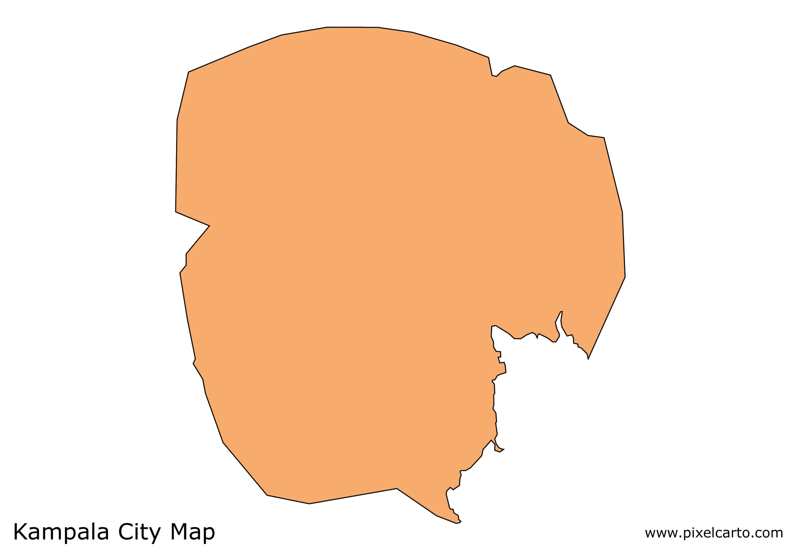
A Kampala City map highlights the city’s five divisions: Central, Kawempe, Makindye, Nakawa, and Rubaga. Each division has its own character and features, making Kampala a diverse and fascinating destination.
The Central Division is the business hub of the city, home to corporate offices, banks, shopping malls, and hotels. Areas like Nakasero and Kololo are key landmarks in this division, hosting government offices, embassies, and luxury accommodations. Kololo Hill also offers breathtaking views of the city.
The Kawempe Division, located to the north, is primarily residential but also includes bustling markets and industrial areas. If you’re looking to explore authentic local lifestyles, Kawempe is the place to visit.
Makindye Division, to the south, is known for its vibrant nightlife and entertainment scene. It features popular hangout spots, restaurants, and resorts, especially in areas like Kabalagala and Ggaba. Ggaba, situated along Lake Victoria, is famous for its fish markets and lakeside activities.
Nakawa Division, located in the east, is a mix of industrial zones and upscale residential areas like Bugolobi and Muyenga. This area also includes popular shopping centers such as the Nakawa Market and Bugolobi Village Mall.
Lastly, the Rubaga Division, to the west, is rich in historical and religious landmarks. The Rubaga Cathedral, a significant religious site, is perched on Rubaga Hill and offers stunning views of the city.
Key Landmarks on a Kampala City Map
Kampala’s city map is dotted with landmarks that showcase its history and culture. The Uganda Museum, located in the Kitante area, is a must-visit for history enthusiasts. It displays a wide range of artifacts that narrate Uganda’s story.
For those seeking religious landmarks, the Gaddafi National Mosque, also known as the Uganda National Mosque, is a striking structure located on Old Kampala Hill. The mosque offers panoramic views of the city from its minaret.
Nature lovers will appreciate places like Kampala’s Owino Market (St. Balikuddembe Market), which showcases the city’s vibrant trade culture, and the serene Kabaka’s Lake, the largest man-made lake in Uganda, located in Rubaga.
Navigating Kampala
Thanks to modern technology, accessing a Kampala City map has never been easier. Digital maps such as Google Maps provide detailed information about streets, landmarks, and transportation routes. Popular ride-hailing apps like SafeBoda and Uber make navigating the city convenient for both locals and tourists.
Conclusion
A Kampala City map is your ultimate guide to discovering Uganda’s capital. From historical landmarks to bustling markets and serene lakeside spots, Kampala offers something for everyone. Whether you’re planning a business trip or a leisure visit, understanding the layout of Kampala through its map will ensure you experience all the vibrant city has to offer.