Madagascar Printable Map PDF, JPG, and PNG for Free Download
If you are looking for a Madagascar printable map, this resource is perfect for you. This map provides a clear and accurate outline of Madagascar’s geographical boundaries without any pre-labeled text or content, allowing you to customize it according to your purpose. Whether you need the map for educational purposes, travel planning, sketching, research, or professional use, you can easily download it in PDF, JPG, or PNG format. The map offers complete flexibility for customization, making it suitable for various applications.
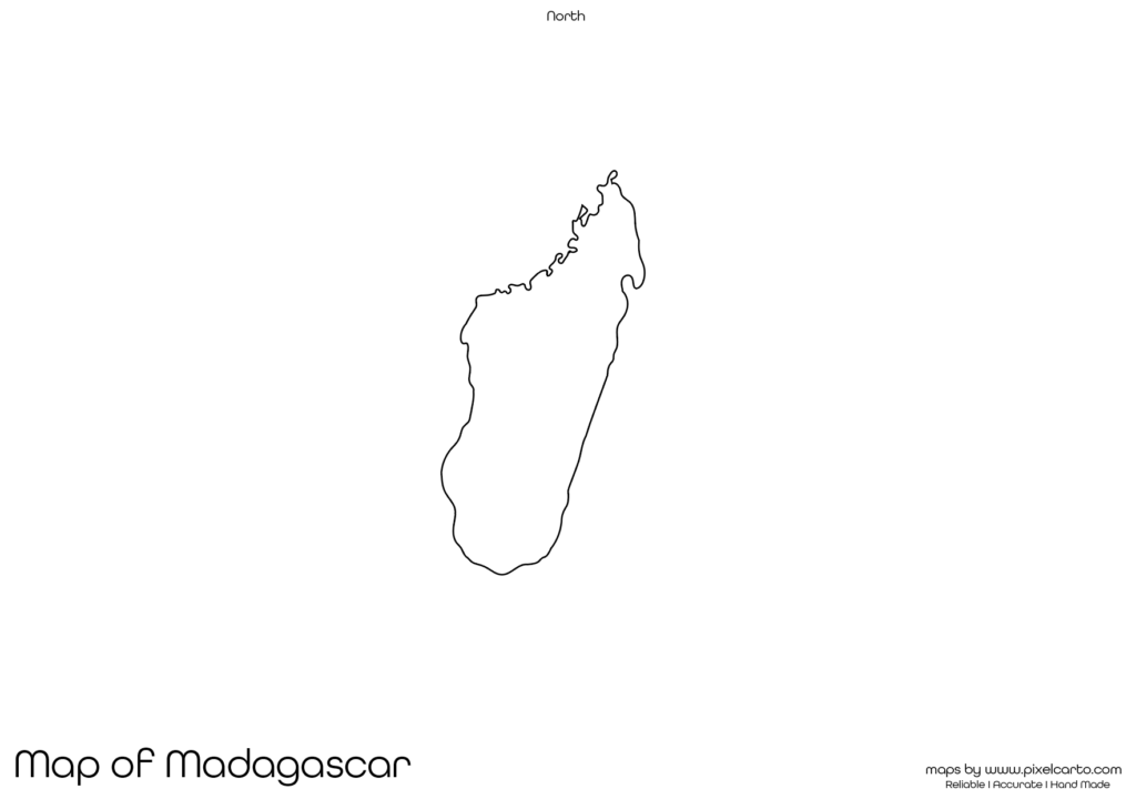
The blank map of Madagascar is created with a clean and sharp border outline, ensuring accuracy for all types of use. With no pre-labeled cities, states, or divisions, users have the freedom to add their own text, markers, or symbols according to their project. This map is ideal for students, teachers, travelers, researchers, or business professionals who require a customizable map of Madagascar.
Why Should You Download a Printable Map of Madagascar?
A printable map of Madagascar is useful for a wide range of purposes. Whether you need it for educational assignments, travel documentation, creative projects, or research work, this map serves as a valuable resource. Here are some of the most common uses of a Madagascar printable map.
Educational Purpose
Teachers and students frequently require a blank map of Madagascar for classroom activities, assignments, and geographical study purposes. Teachers can use the map for map labeling exercises, educational quizzes, and classroom projects, while students can mark major cities, regions, and important geographical features of Madagascar. This map is also helpful in geography competitions or homework tasks.
Students studying African geography, cultural diversity, or natural resources will find this map useful for locating major places, drawing borders, or understanding the topography of Madagascar.
Travel Planning and Documentation
Travelers who are planning a trip to Madagascar often require a blank map to mark their travel routes, tourist destinations, accommodation points, or transportation lines. This printable map can serve as a helpful visual tool for route planning or travel mapping.
Travel bloggers, travel agencies, or content creators can also use this map for visual presentation of travel itineraries or for marking popular tourist destinations like Antananarivo, Nosy Be, Ranomafana National Park, and Andasibe-Mantadia National Park. This makes the map perfect for custom travel planning.
Research and Fieldwork Documentation
Researchers, surveyors, and fieldwork professionals conducting research in Madagascar will find this printable map highly beneficial. It can be used to document survey sites, data collection points, resource distribution, population density, or geographical patterns without any interference from pre-labeled content.
This map is also helpful in preparing research reports, visual documentation, or presenting geographic findings in a simplified format. Researchers in fields such as environment, culture, climate, wildlife, or natural resources will find this map particularly valuable.
Art and Creative Projects
Graphic designers, content creators, or artists looking for a map outline of Madagascar for creative projects can use this printable map to create visual content, posters, presentations, or artistic designs. The blank map allows complete customization, enabling users to add colors, designs, symbols, or text according to their creative needs.
It is also useful for infographics, brochures, travel guides, or digital content where a clear map of Madagascar is needed without pre-labeled content.
Business Planning and Location Marking
Business professionals, investors, or organizations who are planning business operations in Madagascar can use this map for site planning, market research, location marking, or operational documentation. The blank map allows businesses to visualize their business expansion, site locations, branch offices, or operation zones without interference from pre-printed content.
This map is particularly helpful for business presentations, marketing strategies, or project proposals where clear geographic visualization is required.
Available Formats for Madagascar Printable Map
The Madagascar printable map is available in three different formats – PDF, JPG, and PNG – ensuring that users have complete flexibility depending on their specific use. Each format has its advantages based on the intended purpose.
Madagascar Printable Map PDF
The PDF version is the most recommended for high-quality printing, educational use, and professional documentation. If you need the map for classroom assignments, travel planning, research documentation, or business presentations, the PDF format is the best choice. It allows large-scale printing without loss of quality.
Benefits of PDF format:
- High-resolution map for clear and sharp prints.
- Best for educational and professional purposes.
- Allows large-scale printing without distortion.
Madagascar Printable Map JPG
The JPG version is ideal for online use, content creation, or social media posting. If you are a travel blogger, content creator, or website owner and need a simple map of Madagascar for your website, post, or presentation, the JPG version is the most suitable option.
Benefits of JPG format:
- Lightweight file for easy download and sharing.
- Best for online use, social media, and blog posts.
- Can be easily embedded in presentations or articles.
Madagascar Printable Map PNG
The PNG version comes with a transparent background, making it ideal for graphic designers, content creators, and infographic designers. This version allows users to overlay the map on other content, design custom visuals, or create infographics without background interference.
Benefits of PNG format:
- Transparent background for easy customization.
- High-quality resolution for clear designs.
- Perfect for creative or graphic design projects.
Location of Madagascar on the Map of Africa
Madagascar is an island country located off the southeastern coast of Africa in the Indian Ocean. It is the fourth largest island in the world, separated from the mainland of Africa by the Mozambique Channel. The capital city of Madagascar is Antananarivo.
The country is known for its unique biodiversity, lush rainforests, beautiful beaches, and diverse wildlife. Major attractions in Madagascar include Avenue of the Baobabs, Isalo National Park, Nosy Be Island, and Ranomafana National Park. Understanding the geographical position of Madagascar is helpful for travelers, researchers, and students who wish to explore the country.
Why Is This Printable Map of Madagascar Highly Recommended?
The Madagascar printable map provided here is highly recommended because of its clean border outline, high-quality resolution, and customizable format. This map serves various purposes including education, travel, research, business documentation, and creative projects.
Key reasons to download this map:
- Available in PDF, JPG, and PNG formats.
- Provides a clear and clean boundary outline without pre-labeled content.
- Suitable for students, teachers, researchers, travelers, and business professionals.
- Easy to download, customize, and use according to your purpose.
This map is designed to provide maximum flexibility without any content restrictions, ensuring that users can freely customize it as per their requirements.
Final Thoughts
The Madagascar printable map is a highly valuable resource for students, teachers, travelers, researchers, and professionals. Whether you need it for educational assignments, travel planning, creative design, or professional documentation, this map allows complete customization.
You can download the map in PDF format for high-quality printing, JPG format for online content, or PNG format for design projects. The map contains a clean and accurate border outline of Madagascar, allowing you to label locations, create travel routes, or document research findings according to your needs.
If you are looking for a high-quality blank map of Madagascar, this resource is highly recommended. Download the map today and use it for educational, professional, or creative purposes.