The map of the Uganda is a fascinating glimpse into one of Africa’s most captivating countries. Located in East Africa, Uganda is celebrated for its natural beauty, abundant wildlife, and cultural diversity. Known as the “Pearl of Africa,” it offers an array of unique geographical and historical features that make it a must-visit destination. Let’s dive into the highlights of the map of the Uganda and what makes it truly special.
Geographical Overview
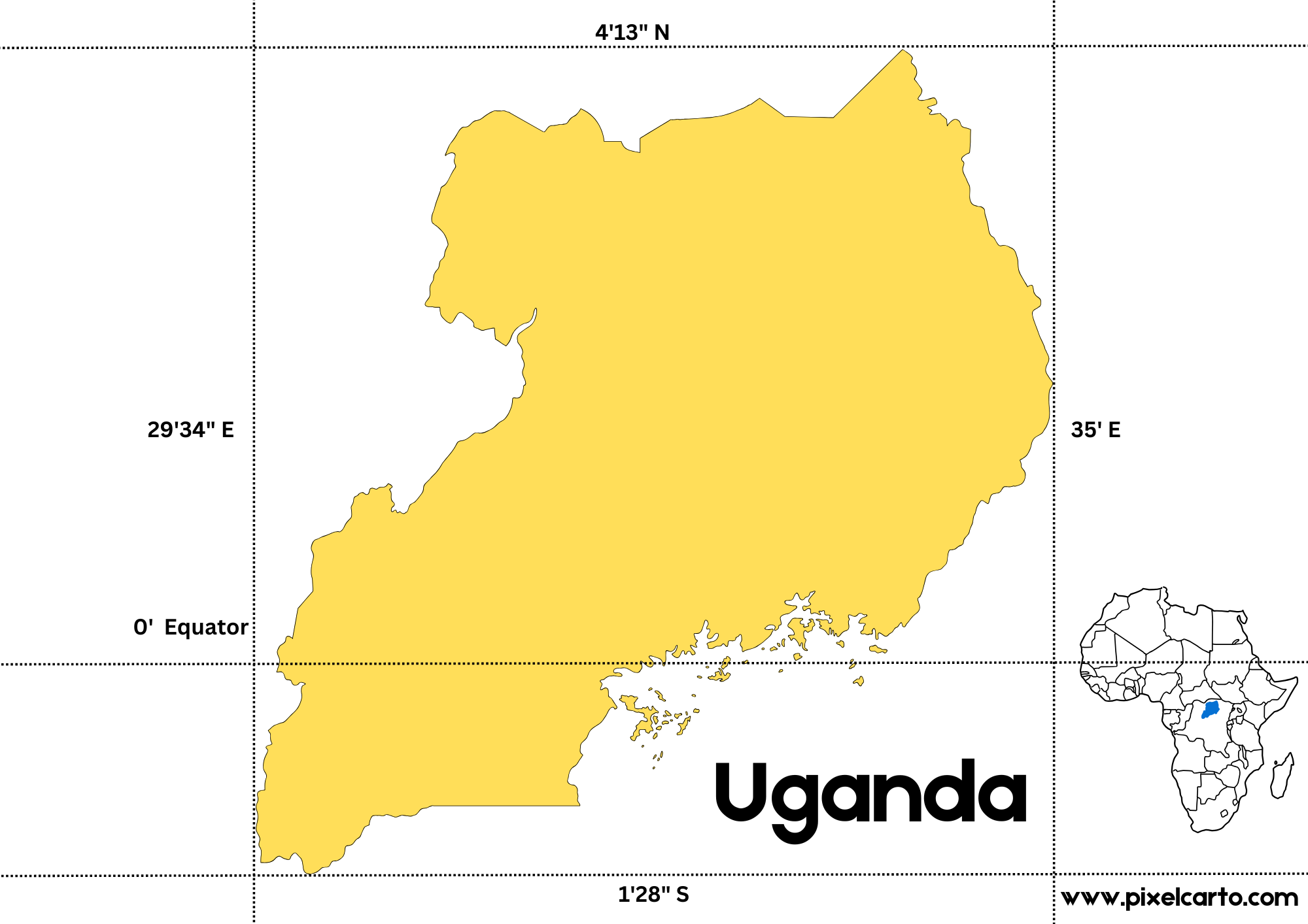
When examining the map of the Uganda, its position as a landlocked country is immediately noticeable. Uganda shares borders with five nations: Kenya to the east, South Sudan to the north, the Democratic Republic of Congo to the west, and Rwanda and Tanzania to the south. The equator runs through the southern part of the country, giving it a warm tropical climate that sustains its lush vegetation and thriving ecosystems.
One of the most prominent features on the map is Lake Victoria, located in southern Uganda. This is Africa’s largest freshwater lake and the source of the Nile River, one of the longest rivers in the world. The Nile begins its incredible journey from Uganda, flowing out of Lake Victoria at Jinja, a city often referred to as the “Adventure Capital of East Africa.”
Key Cities and Regions
The map of the Uganda highlights several cities and regions, each contributing to the country’s vibrant culture and economy. Kampala, the capital city, is centrally located and serves as Uganda’s economic and political hub. With its mix of modern infrastructure and historical landmarks, Kampala is a bustling city full of energy and diversity.
Entebbe, located near Kampala on the shores of Lake Victoria, is home to Uganda’s main international airport. This city serves as a tranquil getaway, featuring botanical gardens and a wildlife center. To the east, Jinja is a hotspot for adventure enthusiasts, offering white-water rafting, bungee jumping, and scenic views of the Nile River.
The western part of Uganda is renowned for its breathtaking landscapes. Cities like Fort Portal and Mbarara are gateways to some of Uganda’s most famous attractions, including Queen Elizabeth National Park, Bwindi Impenetrable National Park, and the Rwenzori Mountains. These regions are home to diverse wildlife, including mountain gorillas, lions, and elephants.
Natural and Cultural Landmarks
A map of the Uganda also highlights its incredible natural landmarks. The country boasts 10 national parks and numerous wildlife reserves, making it a prime destination for ecotourism. Bwindi Impenetrable Forest, a UNESCO World Heritage site, is world-famous for its mountain gorilla population.
Culturally, Uganda is home to more than 50 ethnic groups, each with its own language, traditions, and art forms. The Buganda Kingdom, located in the central region, plays a significant role in the country’s cultural identity, and its influence is evident in many aspects of daily life.
Conclusion
The map of the Uganda serves as a window into a country filled with natural wonders, vibrant cities, and rich cultural heritage. From the majestic Lake Victoria to the gorilla-inhabited forests of Bwindi, Uganda’s diverse geography is a testament to its nickname, the “Pearl of Africa.” Whether you’re an adventurer, a wildlife enthusiast, or a cultural explorer, Uganda promises an unforgettable experience. Exploring its map is just the beginning of your journey into this remarkable country.
One thought on “Unveiling the Map of the Uganda: A Gateway to East Africa’s Beauty”