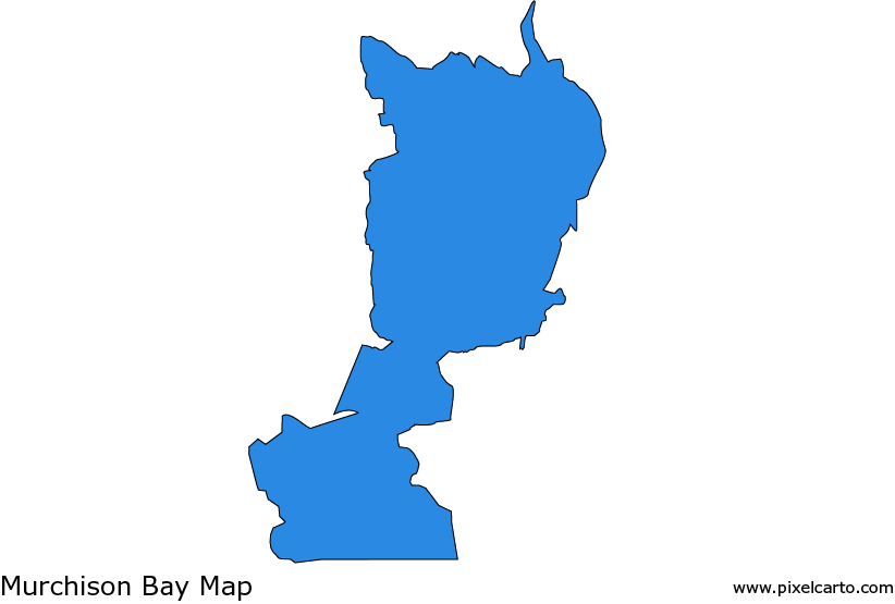
Murchison Bay Map: Exploring Uganda’s Scenic Waterfront
Murchison Bay, located on the northern shores of Lake Victoria in Uganda, is a picturesque and historically significant area. A Murchison Bay map offers valuable insights into this vibrant region, highlighting its natural beauty, economic importance, and role as part of Uganda’s freshwater ecosystem. Whether you’re planning a visit or looking to understand its geography, the map of Murchison Bay provides a detailed view of this unique destination.
Understanding Murchison Bay
Murchison Bay is part of Lake Victoria, the largest freshwater lake in Africa. It is situated near Uganda’s capital city, Kampala, and plays a crucial role in the country’s economy and environment. The bay is divided into two sections: the Inner Murchison Bay and the Outer Murchison Bay. These two areas are separated by a natural narrowing of the bay, forming distinct yet interconnected zones.
A Murchison Bay map typically highlights surrounding urban centers, natural landmarks, and key water channels. The Inner Murchison Bay, closer to Kampala, is known for its urban development and industrial activities. On the other hand, the Outer Murchison Bay extends further into the lake, featuring more serene landscapes and fishing villages.
Features Highlighted on a Murchison Bay Map
- Proximity to Kampala
Murchison Bay is located just south of Kampala, making it easily accessible from the city. A map of the bay often showcases major roadways and transport routes linking it to the capital. Key areas like Luzira, a neighborhood situated along the bay’s shores, are noted for their industrial activities, including a port and warehouses. - Ecological Significance
The map also highlights the bay’s importance as part of Lake Victoria’s ecosystem. Murchison Bay supports diverse aquatic life, including fish species that are vital for local fishing communities. It also serves as a habitat for waterbirds, making it an excellent spot for birdwatching. - Tourism and Recreation
A Murchison Bay map often includes recreational areas along the shoreline. Popular spots for relaxation include resorts, fishing areas, and lakeside picnic sites. The bay’s proximity to Kampala makes it a favorite destination for both locals and tourists looking to unwind by the water. - Environmental Challenges
Maps of Murchison Bay also help identify areas impacted by pollution and urban development. The Inner Murchison Bay faces challenges related to wastewater from Kampala and surrounding areas. Conservation efforts are underway to address these issues and preserve the bay’s natural beauty.
Navigating Murchison Bay
Whether you’re a traveler, conservationist, or local resident, a Murchison Bay map is an essential tool. With advancements in digital mapping technologies, platforms like Google Maps provide detailed views of the bay’s layout, including access roads, landmarks, and nearby attractions.
Conclusion
A Murchison Bay map offers more than just geographical information; it provides a gateway to understanding one of Uganda’s most important waterfront regions. From its ecological significance to its role in urban development, Murchison Bay is a vital part of Lake Victoria and Uganda’s landscape. By exploring the bay through its map, you can uncover its natural beauty, learn about its challenges, and plan visits to enjoy its serene environment. Whether for tourism, research, or recreation, Murchison Bay remains a fascinating and essential destination in Uganda.