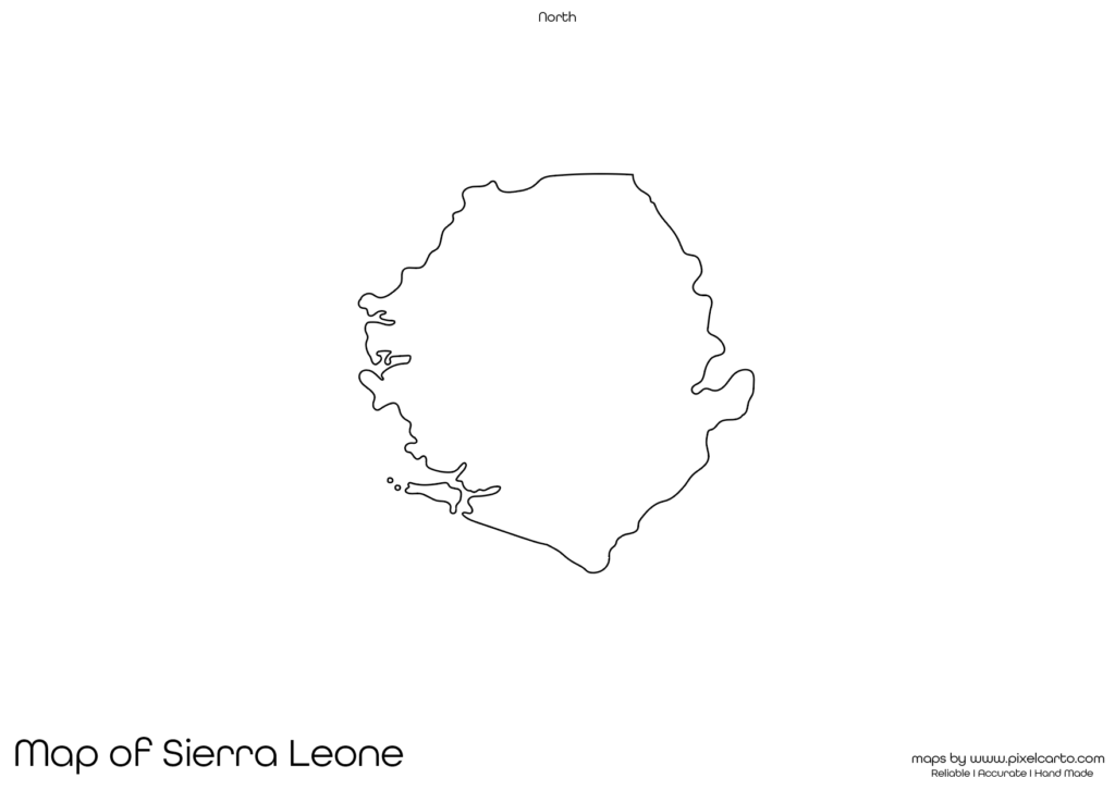
Sierra Leone Printable Map PDF, JPG, and PNG for Free Download
If you are searching for a Sierra Leone printable map, this resource will perfectly suit your needs. This blank map of Sierra Leone provides a clear and accurate outline of the country’s geographical boundaries, allowing users to easily customize it as per their purpose. Whether you need it for educational use, travel planning, research, or design projects, this printable map of Sierra Leone is highly beneficial.
The map comes in three popular formats – PDF, JPG, and PNG, making it convenient for different uses. Since it does not have any pre-labeled content, users have complete freedom to add their own labels, mark important locations, color different regions, or use it for study purposes. Whether you are a student, teacher, traveler, content creator, or business professional, this map is a valuable resource.
Why Should You Download a Printable Map of Sierra Leone?
A printable map of Sierra Leone can serve various purposes depending on your requirements. This blank map allows you to customize the content as per your needs, making it highly versatile. Below are some of the main uses of the Sierra Leone printable map.
Educational Purpose
This blank map of Sierra Leone is perfect for educational purposes. Teachers often require printable maps to conduct map labeling exercises, geography quizzes, classroom projects, and educational assignments. Students can use the map to label major cities, mark rivers, outline borders, or learn about the geography of Sierra Leone.
It is also useful for geography students, researchers, and academic professionals who require a clear and simple map of Sierra Leone for study purposes, academic presentations, and research documentation. The map is a helpful resource for learning and teaching about the geography of Sierra Leone.
Travel Planning and Documentation
Travelers who are planning a trip to Sierra Leone can use this map for route planning, travel documentation, and destination marking. This is particularly useful for tourists, travel bloggers, travel agencies, and trip planners who need a visual tool to organize their travel plans.
Travelers can mark major cities, tourist attractions, historical sites, hotels, and transportation routes on the map. Some popular places to mark include Freetown (the capital), Bunce Island, Tacugama Chimpanzee Sanctuary, Banana Islands, and Tiwai Island Wildlife Sanctuary.
Research and Survey Work
Researchers working on geographical, environmental, social, or economic studies in Sierra Leone can use this map for research documentation, site marking, and survey work. This map is highly beneficial for fieldwork, survey documentation, and research mapping.
Whether you are conducting population research, environmental research, biodiversity studies, or geographical mapping, this blank map of Sierra Leone provides maximum flexibility for research purposes.
Business Planning and Development
Business owners and professionals who are planning to expand their business operations in Sierra Leone can use this map for business documentation, site planning, and market expansion strategies. This map is especially useful for logistics companies, tourism industries, supply chains, and infrastructure developers.
The map can be customized by marking business locations, branch offices, operational sites, or business distribution zones. Business planners can also use this map for creating business expansion strategies, delivery routes, or customer service areas.
Creative Design and Content Creation
Graphic designers, content creators, and marketing professionals can use this blank map of Sierra Leone for creative design purposes, content creation, and promotional material. The PNG version of the map is especially beneficial for graphic design, social media content, website embedding, and creative projects.
Whether you need the map for infographics, travel brochures, posters, or content creation, this blank map of Sierra Leone allows easy customization and creative freedom.
Available Formats for Sierra Leone Printable Map
The Sierra Leone printable map is available in three popular formats – PDF, JPG, and PNG, allowing users to choose the most suitable option based on their specific needs. Below is a detailed overview of each format:
Sierra Leone Printable Map PDF
The PDF format is ideal for high-quality printing, academic use, and educational documentation. Teachers, students, and researchers can use the PDF version to print the map, label it, and customize it for classroom assignments.
Benefits of the PDF format:
- High-quality resolution for clear printing.
- Best for educational and professional use.
- Allows large-scale printing without losing quality.
Sierra Leone Printable Map JPG
The JPG version is perfect for digital use, online content creation, and social media purposes. Travel bloggers, content creators, and marketers can use the JPG format to add the map to blogs, presentations, websites, and travel guides.
Benefits of the JPG format:
- Lightweight and easy to use.
- Best for travel blogs, social media posts, and website embedding.
- Quick download and easy to share.
Sierra Leone Printable Map PNG
The PNG version is highly recommended for graphic design, creative content, and marketing projects. With a transparent background, it is easy to overlay the map on creative designs, travel brochures, infographics, and visual presentations.
Benefits of the PNG format:
- Transparent background for creative designs.
- High-quality resolution for visual content.
- Suitable for infographics, travel guides, and social media content.
Location of Sierra Leone on the Map of Africa
Sierra Leone is a West African country located along the Atlantic Ocean coast. It shares borders with Guinea to the north and east, and Liberia to the southeast. The capital city of Sierra Leone is Freetown, which is also the largest city in the country.
Sierra Leone is known for its beautiful coastline, lush forests, diverse wildlife, and historical sites. Popular destinations in Sierra Leone include Bunce Island, Outamba-Kilimi National Park, Banana Islands, and Tiwai Island Wildlife Sanctuary. The country is also known for its diamond mining, cultural diversity, and tropical rainforests.
Why Is This Printable Map of Sierra Leone Recommended?
This printable map of Sierra Leone is highly recommended because of its clean and clear border outline, allowing users to customize it according to their needs. Whether you are a student, teacher, researcher, traveler, or business professional, this map offers maximum flexibility for customization.
Key benefits of downloading this map:
- Available in PDF, JPG, and PNG formats.
- Clean and clear geographical boundary outline.
- No pre-labeled content, allowing complete customization.
- High-quality resolution for clear printing or digital use.
- Useful for educational, professional, travel, and design purposes.
This map is ideal for those who need a clear and high-quality printable map of Sierra Leone for study, business, travel, or creative work.
Final Thoughts
The Sierra Leone printable map is an essential resource for students, teachers, researchers, travelers, content creators, and business professionals. It offers a clear and accurate outline of Sierra Leone’s geographical boundaries, allowing users to customize the map as per their requirements.
Whether you need the map for school assignments, travel planning, research documentation, or creative projects, this blank map of Sierra Leone is highly versatile. You can download the map in PDF format for high-quality printing, JPG format for online use, or PNG format for creative design projects.
If you are looking for a high-quality and customizable printable map of Sierra Leone, this resource is highly recommended. Download it today and use it for educational, business, travel, or creative purposes.