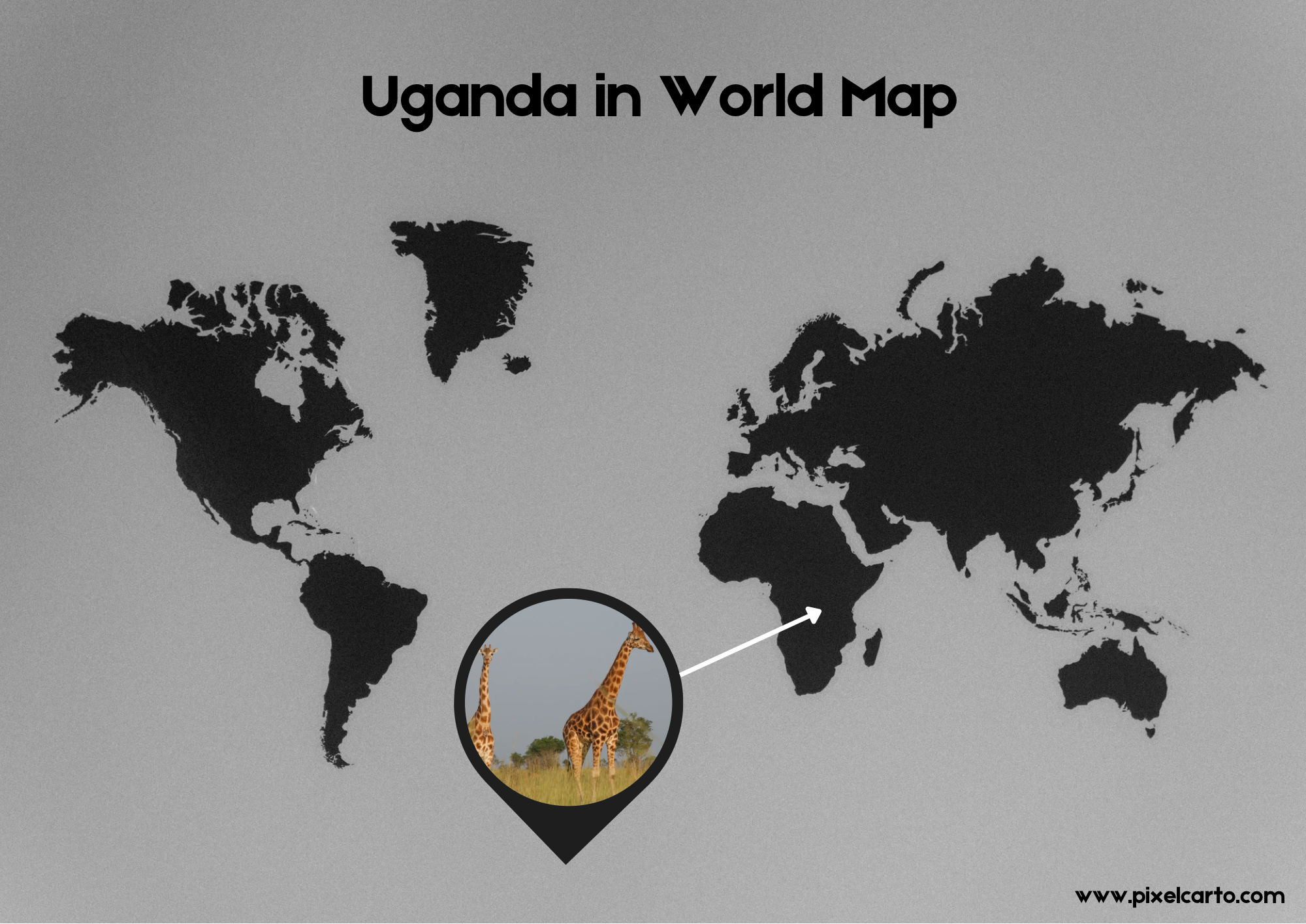
Uganda Country in World Map: A Geographical Overview
Uganda, a landlocked country located in East Africa, is marked on the world map for its stunning landscapes, rich wildlife, and cultural diversity. The country is bordered by five countries: Kenya to the east, South Sudan to the north, the Democratic Republic of the Congo (DRC) to the west, Rwanda to the southwest, and Tanzania to the south. Uganda’s strategic position in the heart of Africa has made it an important cultural and economic hub, making it a notable feature on the world map.
Geographical Location of Uganda on the World Map
If you are looking at a world map, you’ll find Uganda situated just below the equator, approximately at 1° N latitude and 32° E longitude. The country spans an area of around 241,038 square kilometers, making it the 82nd largest country in the world. Its position along the Great Rift Valley provides a diverse topography, which includes savannas, forests, and lakes, including the famous Lake Victoria to the southeast. Lake Victoria, one of the largest freshwater lakes in the world, is shared by Uganda, Kenya, and Tanzania.
Climate and Environment in Uganda
Uganda enjoys a tropical climate, characterized by rainy and dry seasons. This climate supports lush vegetation, and Uganda’s varied terrain is home to a wide array of wildlife. The country is known for its conservation efforts, with iconic sites such as the Bwindi Impenetrable Forest, a UNESCO World Heritage Site, famous for being a habitat of the endangered mountain gorillas. This makes Uganda a key player in global biodiversity, drawing tourists from across the world.
Uganda’s Position in Africa
Uganda’s location places it at a crossroads of major African regions. The northern border with South Sudan links Uganda to the greater Horn of Africa, while the western border with the Democratic Republic of the Congo connects it to Central Africa. The southern border with Tanzania and Rwanda ties Uganda to the Great Lakes Region, an area known for its cultural and political importance.
Political and Economic Importance
On the world map, Uganda’s position is significant for its role in East Africa’s economic development. The country has been focusing on improving infrastructure and developing its agricultural sector, which is a primary driver of its economy. Uganda is known for its production of coffee, tea, and other crops, making it an important player in the global agricultural market.
Furthermore, Uganda’s political importance in Africa is amplified through its involvement in regional organizations such as the East African Community (EAC) and the African Union (AU), contributing to economic integration and peace-building efforts within the continent.
Uganda’s Rich Cultural Diversity
Uganda is home to over 56 ethnic groups, each with its distinct language, customs, and traditions. The diversity within the country is reflected in the cultures and languages spoken, including Luganda, Swahili, and English, the official language. Uganda’s rich cultural heritage, combined with its strategic location in Africa, makes it an attractive destination for travelers looking to explore the continent’s vibrant history and traditions.
Conclusion: Uganda on the World Map
Uganda’s location on the world map places it at the heart of East Africa, bordered by several influential nations. With its breathtaking landscapes, incredible wildlife, and cultural diversity, Uganda is more than just a geographical spot—it is a country that continues to make its mark on the world stage. Whether you are looking to explore its natural wonders or understand its economic and political significance, Uganda remains a country of immense importance on the world map.