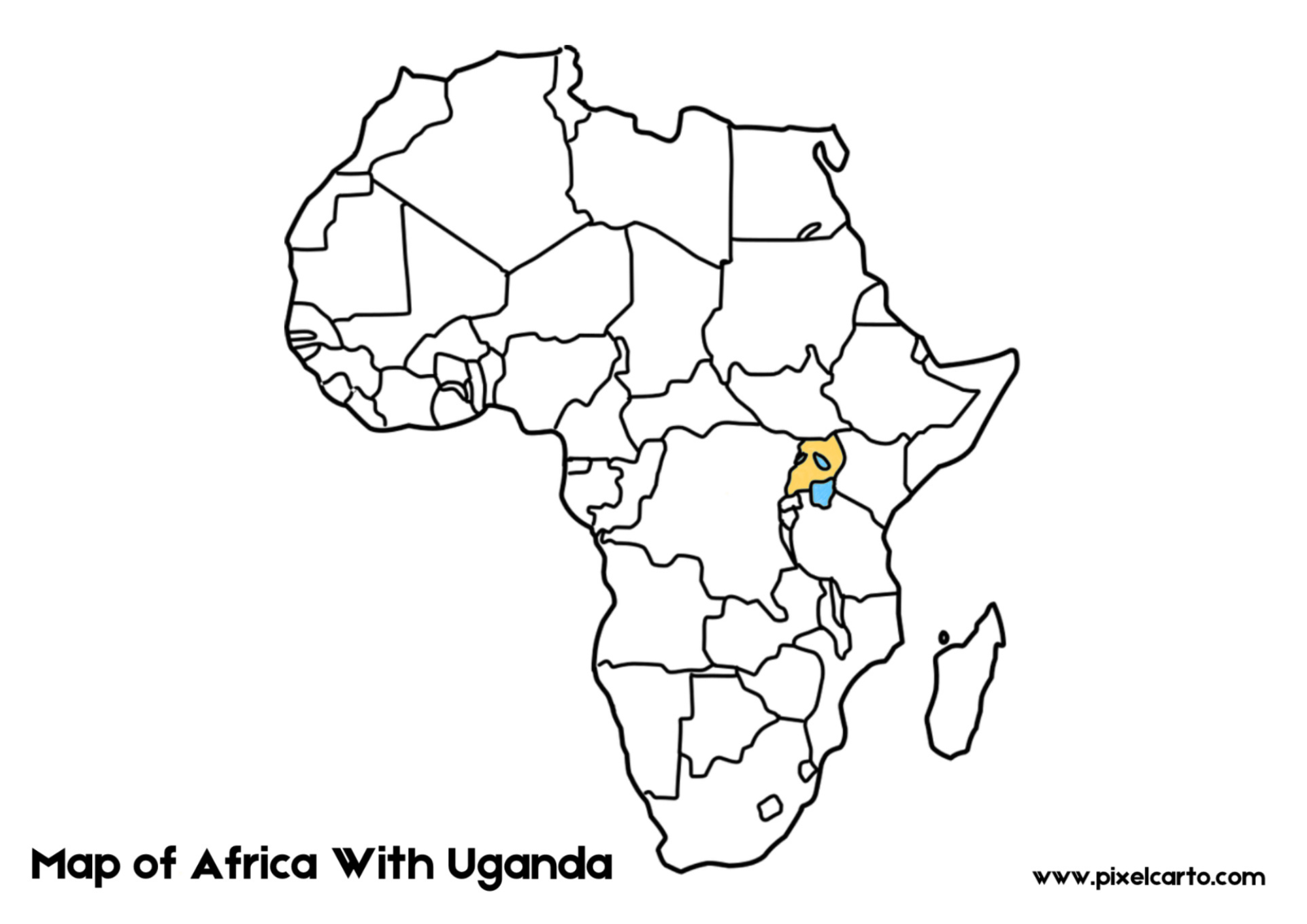
Uganda, often referred to as the “Pearl of Africa,” occupies a prominent position on the African map. Nestled in East Africa, this landlocked country is bordered by Kenya to the east, South Sudan to the north, the Democratic Republic of Congo to the west, and Rwanda and Tanzania to the south. Its location on the African map places Uganda at the heart of the continent, making it a key player in regional trade, culture, and biodiversity.
When examining Uganda on the African map, it’s clear that its central position is vital for East Africa’s connectivity. Uganda serves as a gateway for neighboring landlocked countries, facilitating the movement of goods through major trade routes linked to the port of Mombasa in Kenya. This strategic location has fostered partnerships within the East African Community (EAC), promoting economic growth and regional integration.
Uganda’s geographic position along the equator gives it a tropical climate, characterized by fertile soils and abundant rainfall. This makes agriculture the backbone of the country’s economy. Coffee, one of Uganda’s top exports, is renowned worldwide for its quality. The lush green landscapes visible on Uganda’s section of the African map highlight the country’s agricultural potential, with crops like tea, bananas, and maize thriving in its fertile land.
Natural wonders are another reason Uganda stands out on the African map. The country is home to some of the most iconic landmarks and biodiversity hotspots. Lake Victoria, Africa’s largest freshwater lake, dominates the southern part of Uganda and is shared with Kenya and Tanzania. The lake also serves as the primary source of the Nile River, which flows northward through several countries.
Additionally, Uganda boasts breathtaking national parks, such as Bwindi Impenetrable Forest and Murchison Falls National Park. Bwindi, a UNESCO World Heritage Site, is home to half of the world’s mountain gorilla population, making Uganda a global leader in wildlife conservation and eco-tourism. Queen Elizabeth National Park, with its tree-climbing lions and diverse ecosystems, further enhances Uganda’s reputation as a haven for nature enthusiasts.
Culturally, Uganda’s position on the African map reflects its role as a melting pot of traditions. With over 56 ethnic groups and a variety of languages spoken, Uganda’s cultural diversity is as vibrant as its landscapes. The Baganda people, one of the largest ethnic groups, have significantly influenced Uganda’s culture, especially in the central region surrounding the capital, Kampala.
Kampala, located near Lake Victoria, serves as Uganda’s economic and political center. As the country’s largest city, it reflects a blend of modern development and traditional values. From bustling markets to modern infrastructure, Kampala showcases Uganda’s progress while staying rooted in its rich heritage.
In conclusion, Uganda on the African map is much more than just a geographical location. It symbolizes a nation rich in culture, natural beauty, and economic potential. From its central role in East African trade to its abundant wildlife and vibrant traditions, Uganda is a shining gem on the African continent. Whether you’re drawn by its stunning landscapes or its warm, welcoming people, Uganda’s place on the African map is truly unforgettable.