Zambia Printable Map PDF, JPG, and PNG for Free Download
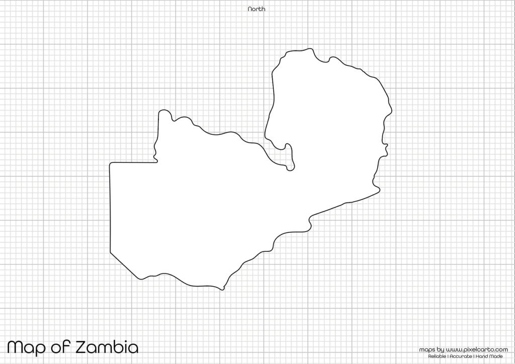
If you are searching for a Zambia printable map, you have come to the right place. This map provides a clear and accurate outline of Zambia’s geographical boundaries without any pre-added labels or markings. It is ideal for educational, travel, business, or creative purposes where you can customize the map as per your requirements. The printable map of Zambia is available in PDF, JPG, and PNG formats, allowing you to download it easily for both digital and print use.
The Zambia blank map is highly suitable for students, teachers, researchers, business owners, and content creators who need a customizable map to mark cities, regions, travel routes, or survey locations. This map gives you the freedom to add your own content based on your purpose.
Why Should You Download a Printable Map of Zambia?
The Zambia printable map can be used for various purposes such as education, travel planning, research, and business documentation. The map comes with a clean and clear outline that allows users to customize it according to their specific needs. Below are some common uses of the Zambia blank map.
Educational Purpose
The blank map of Zambia is widely used in classrooms, schools, and educational projects. Teachers can use it for geography lessons, classroom assignments, and student projects to help them understand Zambia’s geographical features, cities, and neighboring countries.
Students can use the map to label major cities, mark rivers, draw country boundaries, and study geographic locations. This enhances geography learning and helps students to memorize Zambia’s map more effectively. It is also useful for map labeling tests, homework assignments, and research projects.
Travel Planning and Route Mapping
Travelers, travel bloggers, and tour operators can use the Zambia printable map for travel planning, route mapping, and tourist destination documentation. If you are planning a trip to Zambia, you can use this map to mark popular travel destinations, hotel locations, transportation routes, and tourist attractions.
Some of the most famous places that travelers often mark on the map include Victoria Falls, Lusaka (the capital city), South Luangwa National Park, and Lake Kariba. This helps travelers to create a clear travel itinerary and document their routes effectively.
Business Planning and Market Research
For business professionals, entrepreneurs, and market researchers, the Zambia printable map is highly beneficial for business planning, market research, and business expansion documentation. Business owners can use the map to mark business locations, operational zones, delivery routes, and potential target markets.
For logistics companies, delivery service providers, and distribution businesses, the map is useful for planning delivery zones, transportation routes, and operational territories. The clear and blank outline allows businesses to customize the map as per their business needs.
Research and Fieldwork Documentation
Researchers, surveyors, and fieldwork professionals can use the blank map of Zambia for field research, geographical studies, and survey documentation. This map is highly useful for marking survey locations, research areas, and data collection sites.
The map can also be used for environmental research, demographic studies, and population distribution analysis. Researchers often use the map for documenting their findings visually and presenting it in reports or presentations.
Content Creation and Visual Design
For graphic designers, content creators, and digital marketers, the Zambia blank map is a great resource for visual design, content creation, and infographic design. The PNG version of the map, which comes with a transparent background, allows designers to customize the map by adding text, symbols, colors, and labels.
Content creators can use the map for creating travel guides, promotional posters, educational infographics, and visual content. The high-quality resolution of the map ensures that it can be used for both digital and print designs.
Available Formats for Zambia Printable Map
The Zambia blank map is available in three major file formats: PDF, JPG, and PNG. Each format serves a specific purpose based on the user’s need. Below is a brief overview of each file format.
Zambia Printable Map PDF
The PDF version of the map is ideal for high-quality printing, educational use, and official documentation. It provides a sharp and clear resolution, allowing users to print large-size maps without compromising quality.
Benefits of the PDF map:
- High-quality resolution for clear printing.
- Ideal for classroom assignments, school projects, and official documentation.
- Easy to share and distribute.
Zambia Printable Map JPG
The JPG version is perfect for online content, website use, blog posts, and social media sharing. This lightweight format can easily be uploaded, embedded, or shared online.
Benefits of the JPG map:
- Lightweight file size for easy sharing.
- Suitable for blog posts, social media content, and online publications.
- Easy to download and use.
Zambia Printable Map PNG
The PNG version is highly recommended for graphic design, content creation, and creative projects. It comes with a transparent background, allowing designers to add their own text, colors, icons, and labels.
Benefits of the PNG map:
- Transparent background for creative design.
- High-quality resolution for infographics and content creation.
- Suitable for visual content, marketing, and travel design.
Location of Zambia on the Map of Africa
Zambia is a landlocked country located in Southern Africa. It is bordered by Tanzania to the northeast, Malawi to the east, Mozambique to the southeast, Zimbabwe to the south, Namibia to the southwest, Angola to the west, and the Democratic Republic of the Congo to the north. The capital city of Zambia is Lusaka.
Zambia is globally known for Victoria Falls (one of the largest waterfalls in the world), South Luangwa National Park, and Lake Kariba. Its strategic location in Southern Africa makes it a popular travel destination for tourists and adventure seekers.
The Zambia blank map helps users to identify neighboring countries, major cities, and tourist attractions more easily. Whether you are planning a trip, conducting research, or creating content, this map is highly valuable.
Why Is This Printable Map of Zambia Recommended?
The Zambia printable map is highly recommended because it offers:
- Clear and accurate geographical boundaries of Zambia.
- Blank map outline for full customization.
- High-quality PDF, JPG, and PNG formats for printing and digital use.
- Suitable for education, travel planning, research, and business purposes.
- Easy to download and use for classroom assignments, visual content, and documentation.
This map allows users to add their own content, labels, symbols, or routes according to their needs, making it a versatile resource for different purposes.
Final Thoughts
The Zambia printable map is a highly valuable resource for students, teachers, travelers, business professionals, researchers, and content creators. It provides a clear and accurate blank map outline, allowing users to add their own content or markings.
Whether you need the map for classroom assignments, travel documentation, business planning, or creative design, this map offers complete flexibility. You can download the map in PDF for printing, JPG for online use, or PNG for content creation.
If you are looking for a high-quality and customizable printable map of Zambia, this resource is highly recommended. Download it today and use it for educational, travel, business, or creative purposes.